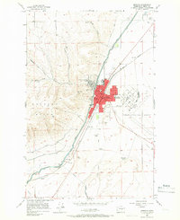
1956 Map of Ephrata
USGS Topo · Published 1966About this map
Ephrata serves as the focal point of this mid-century survey, revealing a town defined by its proximity to both the high ground of the Beezley Hills and the extensive irrigation networks of the Columbia Basin. The map details a community in transition, showing several educational institutions such as Grandview Heights School, Columbia Ridge Sch, and the local High Sch. The Great Northern railroad cuts through the landscape, supporting industrial sites like Olson Spur and various Gravel Pits.
Find a feature on this map
35 named features on this map. Tap any name to fly to it.
Don’t see what you’re looking for? This feature index may not catch every label — zoom into the map to look around manually.
Map Details
Editions of this 1956 Ephrata Map
Other maps of this area

1910 · Winchester
USGS Topo · 1:62,500

1912 · Moses Lake
USGS Topo · 1:62,500

1953 · Ritzville
USGS Topo · 1:250,000

1956 · Ephrata
USGS Topo · 1:62,500

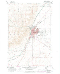
1956 · Ephrata
USGS Topo · 1:24,000

1956 · Ephrata SW
USGS Topo · 1:24,000

1956 · Grant Orchards
USGS Topo · 1:24,000

1956 · Winchester NE
USGS Topo · 1:24,000
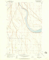
1956 · Moses Lake NW
USGS Topo · 1:24,000

1956 · Soap Lake
USGS Topo · 1:24,000