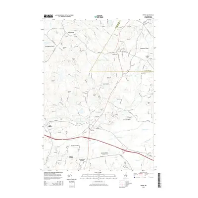
2015 Map of Epping
USGS Topo · Published 2015About this map
Epping and the surrounding Rockingham County landscape are defined by the winding course of the Lamprey River and its numerous tributaries. This 2015 survey reveals a pattern of modern residential growth overlaid upon a foundation of colonial-era settlements and small family farmsteads. The historical character of the region is preserved in its many small burial grounds, including the Ladd Cem, Wiggin Cem, and Quaker Cem, which serve as quiet markers of ancestral families like the Peavys and Isinglasses who gave their names to local landmarks like Peavy Hill and Isinglass Hill.
Find a feature on this map
164 named features on this map. Tap any name to fly to it.
Don’t see what you’re looking for? This feature index may not catch every label — zoom into the map to look around manually.
Map Details
Editions of this 2015 Epping Map
This is the sole edition of this map. No revisions or reprints were ever made.
Other maps of this area

1888 · Newburyport
USGS Topo · 1:62,500

1888 · Haverhill
USGS Topo · 1:62,500

1890 · Haverhill
USGS Topo · 1:62,500

1890 · Newburyport
USGS Topo · 1:62,500

1893 · Dover
USGS Topo · 1:62,500

1893 · Haverhill
USGS Topo · 1:62,500

1894 · Newburyport
USGS Topo · 1:62,500

1916 · Dover
USGS Topo · 1:62,500

1917 · Mt. Pawtuckaway
USGS Topo · 1:62,500

1918 · Dover
USGS Topo · 1:62,500