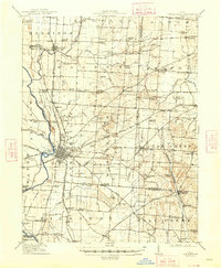
1943 Map of Era
USGS Topo · Published 1943About this map
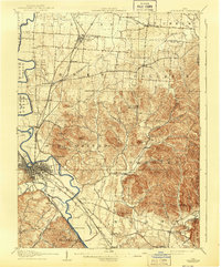
Williamsport and the surrounding townships of Muhlenberg and Deer Creek define this rural landscape during the early 1940s. The area is characterized by a dense network of country schools, such as Frogeye Sch, Tick Ridge Sch, and Dublin Hill Sch, reflecting a highly localized agrarian society. Water-driven industry is anchored by Crownover Mill on Deer Creek, while the eastern boundary follows the Scioto River, tracing the edge of the Virginia Military District.
Find a feature on this map
96 named features on this map. Tap any name to fly to it.
Don’t see what you’re looking for? This feature index may not catch every label — zoom into the map to look around manually.
Map Details
Editions of this 1943 Era Map
This is the sole edition of this map. No revisions or reprints were ever made.
Other maps of this area
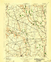
1906 · Mt Sterling
USGS Topo · 1:62,500
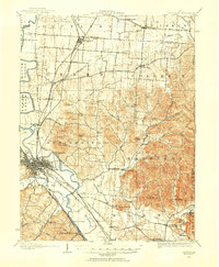
1906 · Chillicothe
USGS Topo · 1:62,500
1907 · London
USGS Topo · 1:62,500
1908 · Chillicothe
USGS Topo · 1:62,500

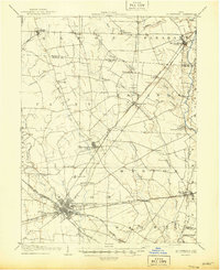
1911 · Era
USGS Topo · 1:62,500
1912 · Roxabell
USGS Topo · 1:62,500
1913 · Era
USGS Topo · 1:62,500
1914 · Roxabell
USGS Topo · 1:62,500
1914 · Circleville
USGS Topo · 1:62,500
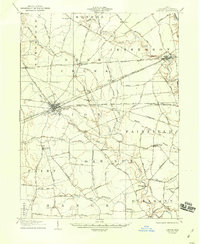
1917 · Greenfield
USGS Topo · 1:62,500