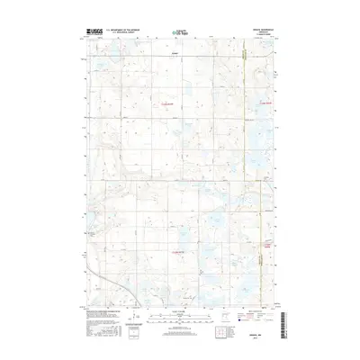
2016 Map of Erdahl
USGS Topo · Published 2016About this map
Glacial geology and the headwaters of regional drainage systems define this West Central Minnesota landscape along the border of Grant and Douglas counties. The settlement of Erdahl serves as a central landmark amidst a dense network of prairie potholes and larger bodies of water, including Lee Lake, Thorstad Lake, and Malmgren Lake. The terrain acts as a subtle divide where the Pomme de Terre River flows toward the southwest while the Chippewa River meanders through the eastern sections, notably at the Chippewa River Willow Slough. Genealogists will find several significant burial sites, such as Lincoln Cem, the Old Lincoln Cem, and the Barrett Covenant Cem near the shores of Barrett Lake. This topography illustrates the complex wetland environment of the region, featuring named marshes like Schmall Marsh and numerous smaller basins like Retzloff Lake and Round Lake.
Find a feature on this map
70 named features on this map. Tap any name to fly to it.
Don’t see what you’re looking for? This feature index may not catch every label — zoom into the map to look around manually.
Map Details
Editions of this 2016 Erdahl Map
This is the sole edition of this map. No revisions or reprints were ever made.
Other maps of this area
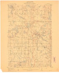
1911 · Barrett
USGS Topo · 1:62,500
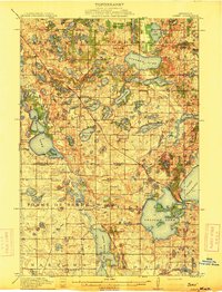
1913 · Ashby
USGS Topo · 1:62,500

1953 · Brainerd
USGS Topo · 1:250,000

1953 · Saint Cloud
USGS Topo · 1:250,000

1957 · Brainerd
USGS Topo · 1:250,000
1957 · Saint Cloud
USGS Topo · 1:250,000
1958 · Saint Cloud
USGS Topo · 1:250,000
1958 · Brainerd
USGS Topo · 1:250,000
1965 · Brainerd
USGS Topo · 1:250,000
1966 · Kensington
USGS Topo · 1:24,000