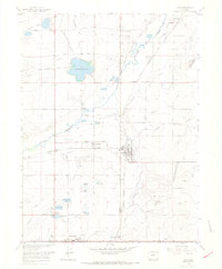
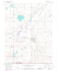
1967 Map of Erie
USGS Topo · Published 1968About this map
Erie and Lafayette anchor this 1960s landscape, which reveals a transition from traditional agriculture and mining toward modern infrastructure. The terrain is crisscrossed by an extensive network of irrigation ditches, including the Liggett Ditch and Cottonwood Ditch, supporting the region's farms and reservoirs like Panama Res No 1. Evidence of the area's coal-producing history is clearly visible through landmarks such as the Columbine Mine, Hayward Mine, and the Erie Mine northeast of town.
Find a feature on this map
64 named features on this map. Tap any name to fly to it.
Don’t see what you’re looking for? This feature index may not catch every label — zoom into the map to look around manually.
Map Details
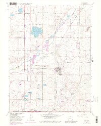
Editions of this 1967 Erie Map
6 editions found
Other maps of this area

1890 · East Denver
USGS Topo · 1:125,000

1899 · West Denver
USGS Topo · 1:125,000

1902 · Greeley
USGS Topo · 1:125,000

1904 · Niwot
USGS Topo · 1:62,500

1940 · Eastlake
USGS Topo · 1:31,680

1940 · Lafayette
USGS Topo · 1:31,680

1942 · Louisville
USGS Topo · 1:31,680

1944 · Lafayette
USGS Topo · 1:31,680

1944 · Eastlake
USGS Topo · 1:31,680

1949 · Gowanda
USGS Topo · 1:24,000