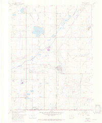
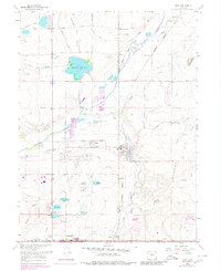
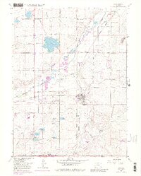
1967 Map of Erie
USGS Topo · Published 1973About this map
The agrarian and industrial landscape of the western High Plains unfolds around Erie and the northern edge of Lafayette. This area is defined by a sophisticated network of irrigation systems essential for Colorado's eastern plains, including the Panama Res No 1, Thomas Reservoir, and the complex Boulder and White Rock Ditch system. The map reveals the region's coal mining heritage through landmarks like the Columbine Mine and Erie Mine, while the Union Pacific rail lines and an Old Railroad Grade illustrate the historical transportation corridors that served these extraction sites. Cultural and community markers such as Pleasant View Ridge, Canfield, and the Mountain View Drag Strip provide a glimpse into the local lifestyle and development patterns of the late 1960s, showing a transition between small-town settlement and early suburban expansion near Ninemile Corner.
Find a feature on this map
49 named features on this map. Tap any name to fly to it.
Don’t see what you’re looking for? This feature index may not catch every label — zoom into the map to look around manually.
Map Details
Editions of this 1967 Erie Map
6 editions found
Other maps of this area

1890 · East Denver
USGS Topo · 1:125,000

1899 · West Denver
USGS Topo · 1:125,000

1902 · Greeley
USGS Topo · 1:125,000

1904 · Niwot
USGS Topo · 1:62,500

1940 · Eastlake
USGS Topo · 1:31,680

1940 · Lafayette
USGS Topo · 1:31,680

1942 · Louisville
USGS Topo · 1:31,680

1944 · Lafayette
USGS Topo · 1:31,680

1944 · Eastlake
USGS Topo · 1:31,680

1949 · Gowanda
USGS Topo · 1:24,000