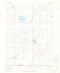
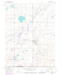
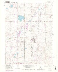
1967 Map of Erie
USGS Topo · Published 1968About this map
Coal mining and rail logistics define the landscape of the northern Front Range during the late 1960s. The town of Erie sits at the nexus of several industrial operations, including the Erie Mine and the nearby Columbine Mine to the south. Further south, the map shows the early footprint of Lafayette near the Hayward Mine. The region is crisscrossed by the Union Pacific and Chicago Burlington and Quincy railroads, which facilitated the movement of resources from local settlements like Canfield, Leyner, and Gooding.
Find a feature on this map
36 named features on this map. Tap any name to fly to it.
Don’t see what you’re looking for? This feature index may not catch every label — zoom into the map to look around manually.
Map Details
Editions of this 1967 Erie Map
6 editions found
Other maps of this area

1890 · East Denver
USGS Topo · 1:125,000

1899 · West Denver
USGS Topo · 1:125,000

1902 · Greeley
USGS Topo · 1:125,000

1904 · Niwot
USGS Topo · 1:62,500

1940 · Eastlake
USGS Topo · 1:31,680

1940 · Lafayette
USGS Topo · 1:31,680

1942 · Louisville
USGS Topo · 1:31,680

1944 · Lafayette
USGS Topo · 1:31,680

1944 · Eastlake
USGS Topo · 1:31,680

1949 · Gowanda
USGS Topo · 1:24,000