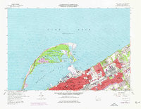
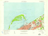
1957 Map of Erie North
USGS Topo · Published 1976About this map
Presque Isle Peninsula arcs into Lake Erie, forming a protected harbor for the industrial and civic heart of Erie. This mid-century survey illustrates the intense urban density of the Pennsylvania lakeshore, where extensive rail networks like the Penn Central and Norfolk and Western serviced the waterfront and commercial corridors. The map detail is particularly strong on institutional history, documenting a dense cluster of parochial schools and academies such as St Benedicts Academy and St John Kanty High Sch, alongside the prominent State Soldiers and Sailors Home.
Find a feature on this map
80 named features on this map. Tap any name to fly to it.
Don’t see what you’re looking for? This feature index may not catch every label — zoom into the map to look around manually.
Map Details
Editions of this 1957 Erie North Map
4 editions found
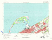
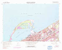
Other maps of this area

1899 · Erie
USGS Topo · 1:62,500

1900 · Erie
USGS Topo · 1:62,500

1913 · North East
USGS Topo · 1:62,500

1915 · North East
USGS Topo · 1:62,500

1943 · North East
USGS Topo · 1:62,500

1950 · Erie
USGS Topo · 1:250,000

1957 · Erie South
USGS Topo · 1:24,000
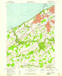
1957 · Swanville
USGS Topo · 1:24,000
1957 · Erie North
USGS Topo · 1:24,000

1959 · Erie
USGS Topo · 1:250,000
Featured Places
- Erie, PA
- Harborcreek Township, PA
- Lawrence Park Township, PA
- Wesleyville, PA
- Fairfield, Harborcreek Township