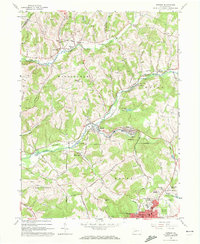
1963 Map of Ernest
USGS Topo · Published 1972About this map
The industrial and rural landscape of central Indiana County is defined by the winding course of Crooked Creek and the heavy presence of coal mining operations. At the heart of the area, the town of Ernest and nearby Creekside are linked by the Baltimore and Ohio railroad, which follows the creek valley past numerous mine dumps. The map reveals a transition from the dense residential grid of Indiana and Chevy Chase Heights in the south to the small mining hamlets and scattered farms of Washington and Rayne townships. A network of rural cemeteries and churches, such as Old Washington Cem and Harmony Grove Ch, provides a clear view into the region's genealogical history. The presence of a Strip Mine in the north and the extensive pipeline routes crossing the hills highlight the essential role of resource extraction in shaping the local economy during the early 1960s.
Find a feature on this map
68 named features on this map. Tap any name to fly to it.
Don’t see what you’re looking for? This feature index may not catch every label — zoom into the map to look around manually.
Map Details
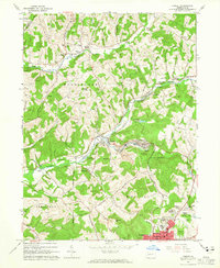
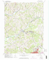
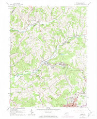
Editions of this 1963 Ernest Map
4 editions found
Other maps of this area

1901 · Rural Valley
USGS Topo · 1:62,500

1902 · Indiana
USGS Topo · 1:62,500

1902 · Elders Ridge
USGS Topo · 1:62,500

1903 · Rural Valley
USGS Topo · 1:62,500

1904 · Elders Ridge
USGS Topo · 1:62,500

1909 · Smicksburg
USGS Topo · 1:62,500

1938 · Smicksburg
USGS Topo · 1:62,500

1939 · Smicksburg
USGS Topo · 1:62,500

1953 · Pittsburgh
USGS Topo · 1:250,000

1954 · Pittsburgh
USGS Topo · 1:250,000