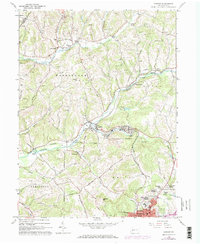
1963 Map of Ernest
USGS Topo · Published 1974About this map
Mining operations and rural hamlets define this landscape in western Pennsylvania during the mid-twentieth century. The Baltimore and Ohio railroad corridor follows the winding path of Crooked Creek, connecting industrial sites like the Mine Dump near Ernest with regional transport networks. Evidence of the area's coal heritage is seen in the numerous gas wells and strip mines scattered across the hills of Washington and Rayne townships.
Find a feature on this map
67 named features on this map. Tap any name to fly to it.
Don’t see what you’re looking for? This feature index may not catch every label — zoom into the map to look around manually.
Map Details
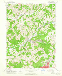
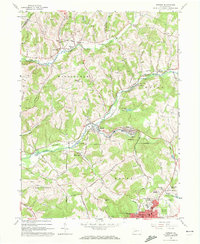
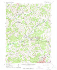
Editions of this 1963 Ernest Map
4 editions found
Other maps of this area

1901 · Rural Valley
USGS Topo · 1:62,500

1902 · Indiana
USGS Topo · 1:62,500

1902 · Elders Ridge
USGS Topo · 1:62,500

1903 · Rural Valley
USGS Topo · 1:62,500

1904 · Elders Ridge
USGS Topo · 1:62,500

1909 · Smicksburg
USGS Topo · 1:62,500

1938 · Smicksburg
USGS Topo · 1:62,500

1939 · Smicksburg
USGS Topo · 1:62,500

1953 · Pittsburgh
USGS Topo · 1:250,000

1954 · Pittsburgh
USGS Topo · 1:250,000