
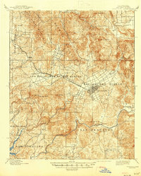
1901 Map of Escondido
USGS Topo · Published 1901About this map
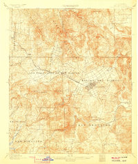
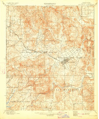
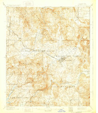
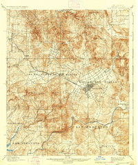
Escondido serves as the central hub of this turn-of-the-century San Diego County landscape, situated at the terminus of the Southern California R. R. Escondido Branch. This 1901 edition, based on surveys from 1891 and 1898, captures a transition from large rancho divisions to emerging agricultural settlements. The land is defined by several historic land grants and districts, including Rincon Del Diablo and Los Vallecitos De San Marcos, reflecting the area's deep Spanish and Mexican heritage.
Find a feature on this map
39 named features on this map. Tap any name to fly to it.
Don’t see what you’re looking for? This feature index may not catch every label — zoom into the map to look around manually.
Map Details
Editions of this 1901 Escondido Map
6 editions found
Other maps of this area

1893 · El Cajon
USGS Topo · 1:62,500

1893 · Oceanside
USGS Topo · 1:62,500

1893 · Escondido
USGS Topo · 1:62,500

1898 · Oceanside
USGS Topo · 1:62,500

1901 · Elcajon
USGS Topo · 1:62,500

1901 · Oceanside
USGS Topo · 1:62,500

1901 · San Luis Rey
USGS Topo · 1:125,000

1903 · Cuyamaca
USGS Topo · 1:125,000

1903 · La Jolla
USGS Topo · 1:62,500

1903 · Elcajon
USGS Topo · 1:62,500