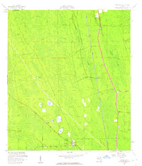
1957 Map of Espanola
USGS Topo · Published 1960About this map
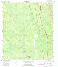
Espanola and Neoga stand as the primary settlements in this pocket of the Florida flatwoods during the late 1950s. The landscape is defined by its drainage and transport patterns, where the Florida East Coast railway and the Old Brick Road cut through low-lying terrain. Local life is anchored at the southern edge of the map by the St Pauls Ch, an Athletic Field, and the Espanola Cem. To the north and east, the natural environment dominates, characterized by the expanse of Pringle Swamp and Hulett Swamp. Smaller water bodies like Speckled Perch Lake, Black Lake, and Tank Lake dot the area west of the tracks. Infrastructure of the era is represented by the Flagler Lookout Tower and the St Joe Canal, which leads toward the Intracoastal Waterway along the eastern margin.
Find a feature on this map
25 named features on this map. Tap any name to fly to it.
Don’t see what you’re looking for? This feature index may not catch every label — zoom into the map to look around manually.
Map Details
Editions of this 1957 Espanola Map
5 editions found
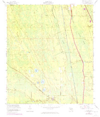
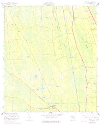
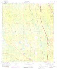
Other maps of this area

1927 · Matanzas
USGS Topo · 1:48,000

1937 · Dinner Island
USGS Topo · 1:48,000

1937 · Ormond
USGS Topo · 1:48,000

1943 · Dinner Island
USGS Topo · 1:62,500

1943 · Matanzas
USGS Topo · 1:62,500

1944 · Ormond
USGS Topo · 1:62,500

1944 · Dinner Island
USGS Topo · 1:62,500

1944 · Matanzas
USGS Topo · 1:62,500

1954 · Daytona Beach
USGS Topo · 1:250,000

1956 · Dinner Island NE
USGS Topo · 1:24,000