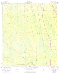
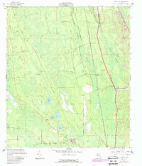
1957 Map of Espanola
USGS Topo · Published 1977About this map
Espanola serves as the primary hub of this interior Flagler County landscape, situated where the Florida East Coast railway intersects with the historic Old Brick Road. The settlement is defined by local landmarks like St Pauls Ch, the Athletic Field, and the nearby Espanola Cem. To the northwest, the map records the smaller community of Neoga near its namesake Neoga Lake.
Find a feature on this map
24 named features on this map. Tap any name to fly to it.
Don’t see what you’re looking for? This feature index may not catch every label — zoom into the map to look around manually.
Map Details
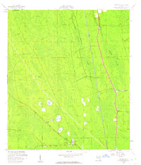
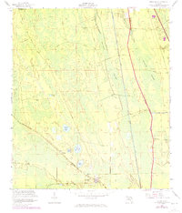
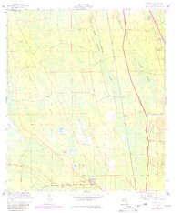
Editions of this 1957 Espanola Map
5 editions found
Other maps of this area

1927 · Matanzas
USGS Topo · 1:48,000

1937 · Dinner Island
USGS Topo · 1:48,000

1937 · Ormond
USGS Topo · 1:48,000

1943 · Dinner Island
USGS Topo · 1:62,500

1943 · Matanzas
USGS Topo · 1:62,500

1944 · Ormond
USGS Topo · 1:62,500

1944 · Dinner Island
USGS Topo · 1:62,500

1944 · Matanzas
USGS Topo · 1:62,500

1954 · Daytona Beach
USGS Topo · 1:250,000

1956 · Dinner Island NE
USGS Topo · 1:24,000