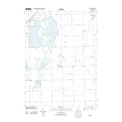
2012 Map of Essex
USGS Topo · Published 2012About this map
The industrial and agricultural landscape of southern Will County is anchored by the massive cooling cooling pond of the Braidwood Nuclear Plant, which dominates the western half of this territory. This modern energy infrastructure sits adjacent to the older village of Godley, where local streets like E Rose Ln and E Mary Ln meet the plant's perimeter. Further south, the settlement of Essex serves as a central hub, flanked by the North Essex Cem and South Essex Cem.
Find a feature on this map
76 named features on this map. Tap any name to fly to it.
Don’t see what you’re looking for? This feature index may not catch every label — zoom into the map to look around manually.
Map Details
Editions of this 2012 Essex Map
This is the sole edition of this map. No revisions or reprints were ever made.
Other maps of this area

1892 · Morris
USGS Topo · 1:62,500

1892 · Wilmington
USGS Topo · 1:62,500

1918 · Wilmington
USGS Topo · 1:62,500

1918 · Morris
USGS Topo · 1:62,500

1923 · Herscher
USGS Topo · 1:62,500

1925 · Herscher
USGS Topo · 1:62,500

1948 · Dwight
USGS Topo · 1:62,500

1950 · Dwight
USGS Topo · 1:62,500

1953 · Coal City
USGS Topo · 1:24,000

1953 · Symerton
USGS Topo · 1:24,000