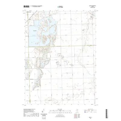
2021 Map of Essex
USGS Topo · Published 2021About this map
Braidwood Power Plant Cooling Pond dominates the central landscape of this Illinois quadrangle, its intricate shoreline and adjacent industrial footprint defining the area between Braceville and Essex. The map reveals a transition from industrial utilities to the traditional agricultural grid of the Midwest, punctuated by the Kankakee River in the northeast corner. Regional history is preserved in small rural settlements like Godley and Clarke City, along with several dedicated burial grounds such as Mount Olivet Cem and Custer Township Cem. The presence of the Corn Field Airport north of Essex highlights the local aviation character of the region. Drainage is managed by a network of waterways including Horse Creek, Granary Cr, and Reddick Run, which weave through the townships and cross county boundaries.
Find a feature on this map
54 named features on this map. Tap any name to fly to it.
Don’t see what you’re looking for? This feature index may not catch every label — zoom into the map to look around manually.
Map Details
Editions of this 2021 Essex Map
This is the sole edition of this map. No revisions or reprints were ever made.
Other maps of this area

1892 · Morris
USGS Topo · 1:62,500

1892 · Wilmington
USGS Topo · 1:62,500

1918 · Wilmington
USGS Topo · 1:62,500

1918 · Morris
USGS Topo · 1:62,500

1923 · Herscher
USGS Topo · 1:62,500

1925 · Herscher
USGS Topo · 1:62,500

1948 · Dwight
USGS Topo · 1:62,500

1950 · Dwight
USGS Topo · 1:62,500

1953 · Coal City
USGS Topo · 1:24,000

1953 · Symerton
USGS Topo · 1:24,000