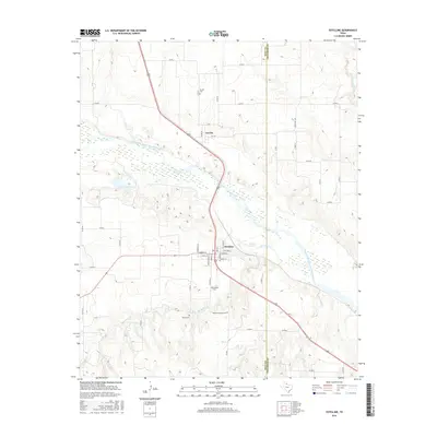
2016 Map of Estelline
USGS Topo · Published 2016About this map
The Prairie Dog Town Fork Red River carves through the Panhandle landscape, defining the geographic character of this borderland between Hall and Childress counties. The small community of Estelline serves as a local hub, with its grid of streets including Main St and Cleveland St situated just south of the river. To the northwest, the settlement of Newlin sits near the banks of the fork, connected to the larger region by the diagonal path of the highway and proximity to the Newlin Cem.
Find a feature on this map
45 named features on this map. Tap any name to fly to it.
Don’t see what you’re looking for? This feature index may not catch every label — zoom into the map to look around manually.
Map Details
Editions of this 2016 Estelline Map
This is the sole edition of this map. No revisions or reprints were ever made.
Other maps of this area

1954 · Plainview
USGS Topo · 1:250,000

1958 · Plainview
USGS Topo · 1:250,000

1961 · Memphis
USGS Topo · 1:62,500

1961 · Estelline
USGS Topo · 1:62,500

1967 · Tell North
USGS Topo · 1:24,000

1967 · Badger Nest Tank
USGS Topo · 1:24,000

1967 · Carey
USGS Topo · 1:24,000

1976 · Memphis SE
USGS Topo · 1:24,000

1976 · Memphis NE
USGS Topo · 1:24,000

1984 · Estelline NE
USGS Topo · 1:24,000