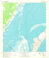
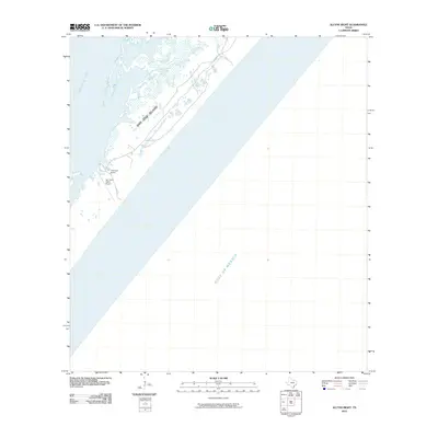
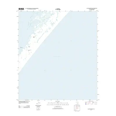
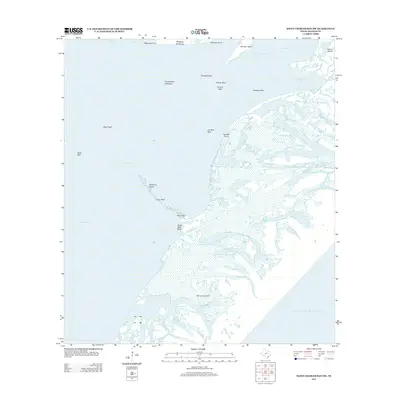
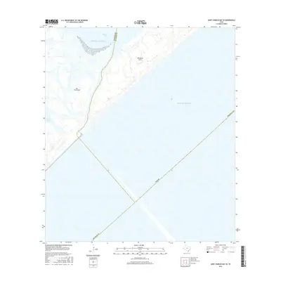
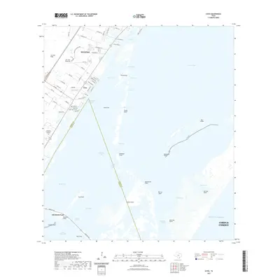
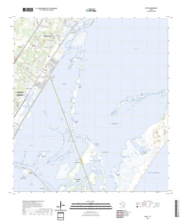
1971 Map of Estes
USGS Topo · Published 1973About this map
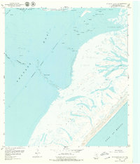
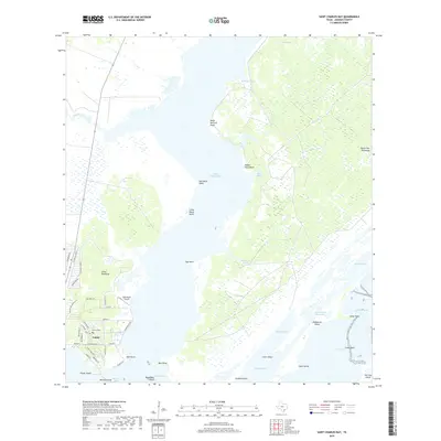
Live Oak Peninsula dominates the western shoreline of this 1971 coastal survey, where the Southern Pacific railroad tracks parallel the coast through settlements like Estes and Palm Harbor. The landscape is a complex network of shallow bays and islands, including Traylor Island and Mud Island, separating Aransas Bay from Red Fish Bay. Evidence of the region's industrial footprint is clear at the Carbon Black Plant and a nearby Tank Farm near Kosmos.
Find a feature on this map
51 named features on this map. Tap any name to fly to it.
Don’t see what you’re looking for? This feature index may not catch every label — zoom into the map to look around manually.
Map Details
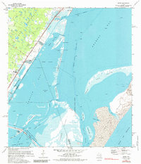
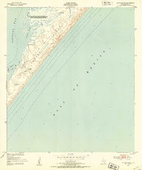
Editions of this 1971 Estes Map
3 editions found
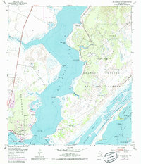
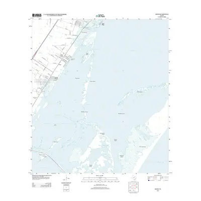
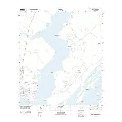
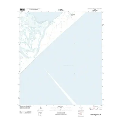
Historical Maps of Corpus Christi Through Time
36 maps found
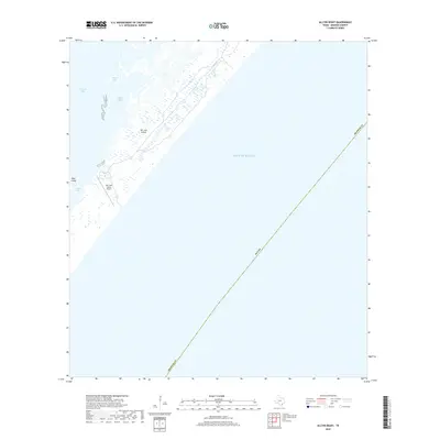
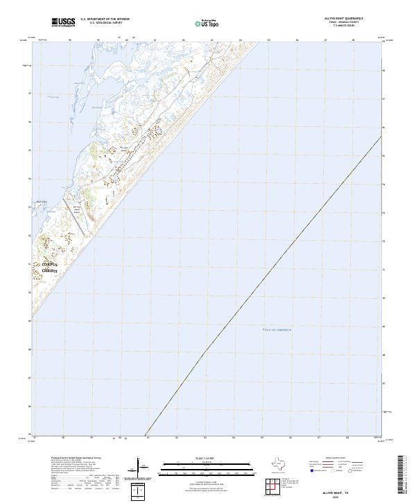
1951 Allyns Bight
Aransas County, TX
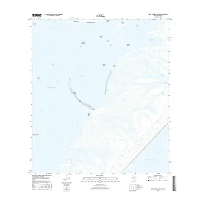
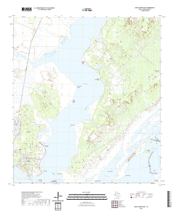
1952 St. Charles Bay
Aransas County, TX

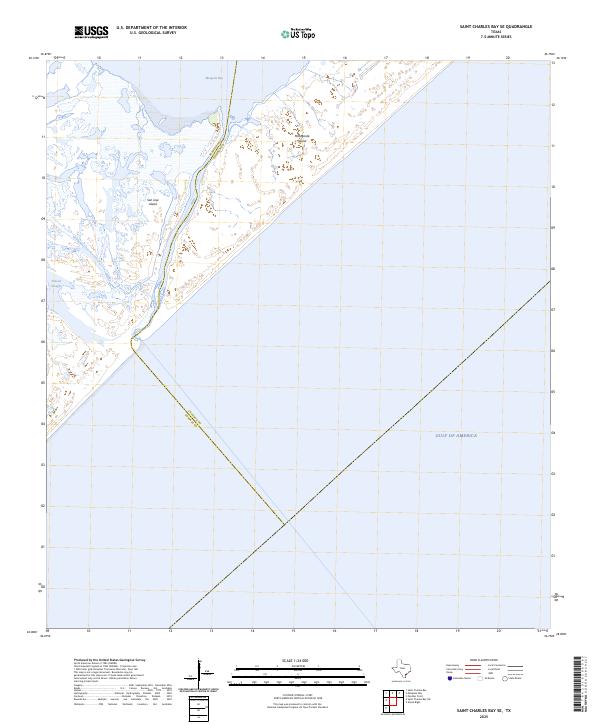
1952 St. Charles Bay SE
Aransas County, TX
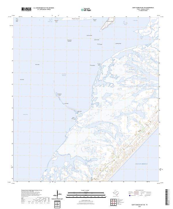
1952 St. Charles Bay SW
Aransas County, TX
1954 Estes
Aransas County, TX
1970 Allyns Bight
Aransas County, TX
1971 Estes
Aransas County, TX
2010 Allyns Bight
Aransas County, TX
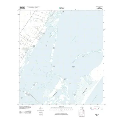
2010 Estes
Aransas County, TX
2010 Saint Charles Bay
Aransas County, TX
2010 Saint Charles Bay SE
Aransas County, TX

2010 Saint Charles Bay SW
Aransas County, TX
2012 Allyns Bight
Aransas County, TX
2013 Estes
Aransas County, TX
2013 Saint Charles Bay
Aransas County, TX
2013 Saint Charles Bay SE
Aransas County, TX
2013 Saint Charles Bay SW
Aransas County, TX
2016 Allyns Bight
Aransas County, TX
2016 Estes
Aransas County, TX
2016 Saint Charles Bay
Aransas County, TX
2016 Saint Charles Bay SE
Aransas County, TX
2016 Saint Charles Bay SW
Aransas County, TX
2019 Allyns Bight
Aransas County, TX
2019 Estes
Aransas County, TX
2019 Saint Charles Bay
Aransas County, TX
2019 Saint Charles Bay SE
Aransas County, TX
2019 Saint Charles Bay SW
Aransas County, TX
2022 Allyns Bight
Aransas County, TX
2022 Estes
Aransas County, TX
2022 Saint Charles Bay
Aransas County, TX
2022 Saint Charles Bay SE
Aransas County, TX
2022 Saint Charles Bay SW
Aransas County, TX
2025 Allyns Bight
Aransas County, TX
2025 Estes
Aransas County, TX
2025 Saint Charles Bay SE
Aransas County, TX
2025 Saint Charles Bay SW
Aransas County, TX