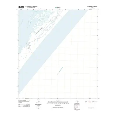
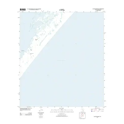
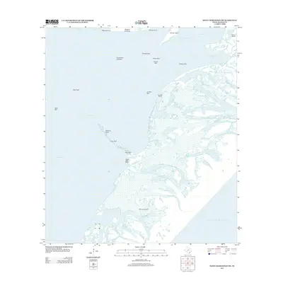
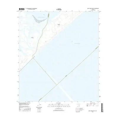
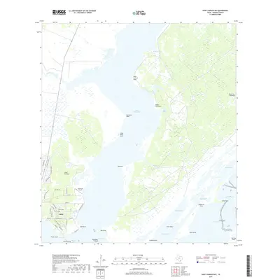
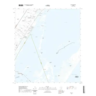
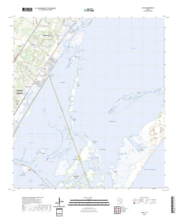
1971 Map of Estes
USGS Topo · Published 1995About this map
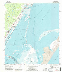
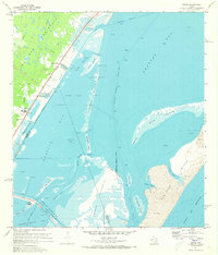
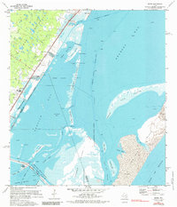
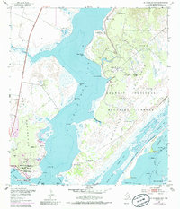
Coastal development and industrial activity define this survey of the Texas shoreline between Aransas Bay and Corpus Christi Bay. Along the Southern Pacific railroad line, localized growth appears at City-by-the-Sea and Palm Harbor, while the Carbon Black Plant and a large Tank Farm near Kosmos indicate the region's mid-century petroleum and manufacturing footprint. The intricate network of barrier islands and shallow waters, including Taylor Island and the Estes Flats, is bisected by the Intracostal Waterway, showing the critical role of shipping channels in this landscape. Notable landmarks such as the San Antonio Cem and the evocatively named Quarantine Shore on Harbor Island offer specific points of interest for genealogists and local historians tracking the shifting boundaries between land and sea.
Find a feature on this map
56 named features on this map. Tap any name to fly to it.
Don’t see what you’re looking for? This feature index may not catch every label — zoom into the map to look around manually.
Map Details
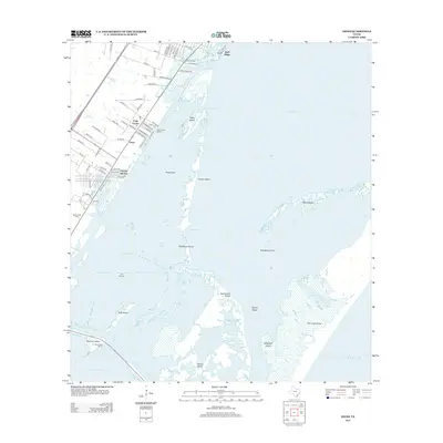
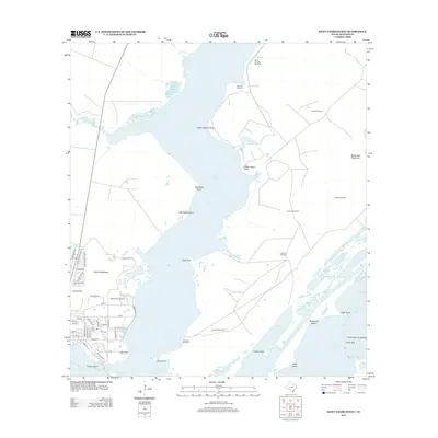
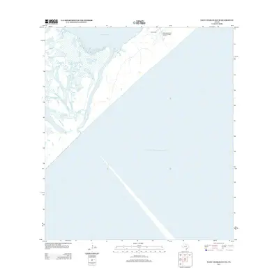
Editions of this 1971 Estes Map
3 editions found
Historical Maps of Corpus Christi Through Time
36 maps found
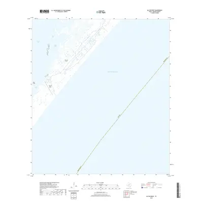
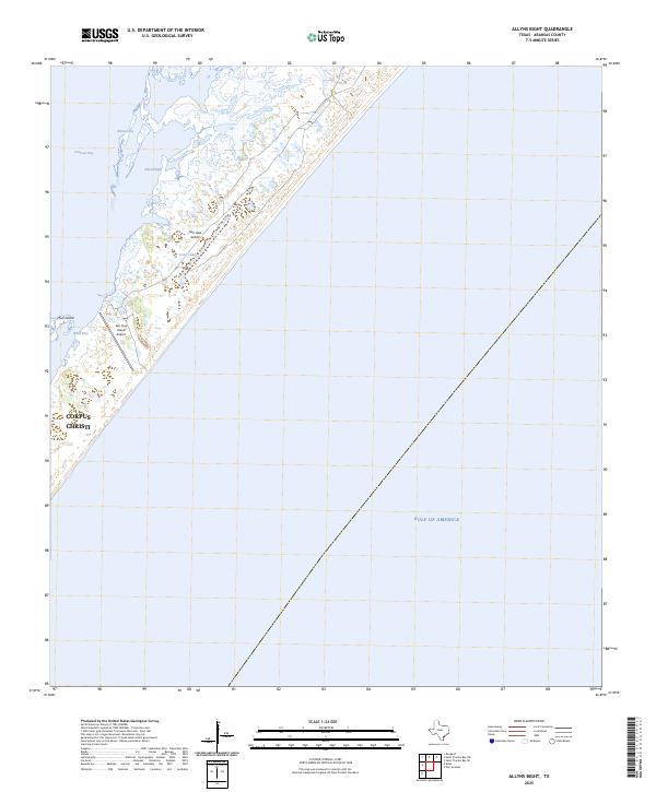
1951 Allyns Bight
Aransas County, TX
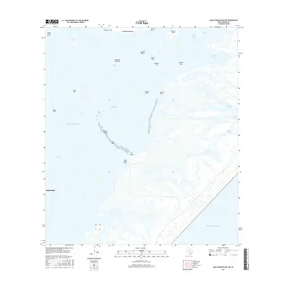
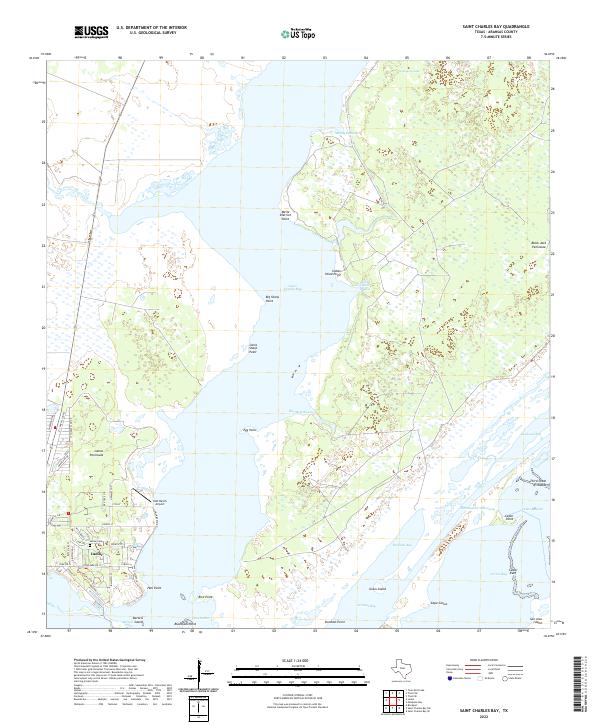
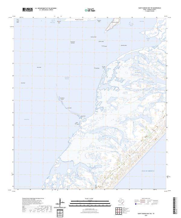
1952 St. Charles Bay
Aransas County, TX

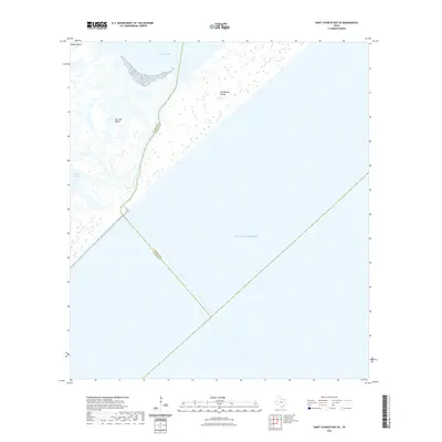
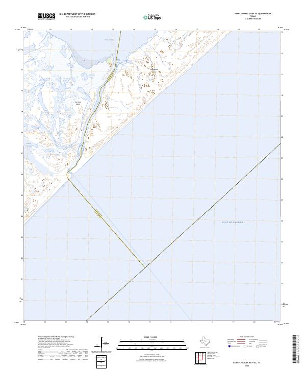
1952 St. Charles Bay SE
Aransas County, TX
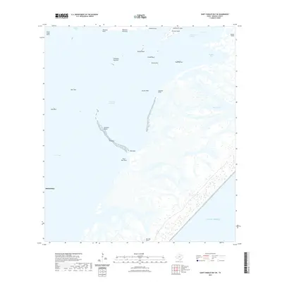
1952 St. Charles Bay SW
Aransas County, TX
1954 Estes
Aransas County, TX
1970 Allyns Bight
Aransas County, TX
1971 Estes
Aransas County, TX
2010 Allyns Bight
Aransas County, TX
2010 Estes
Aransas County, TX
2010 Saint Charles Bay
Aransas County, TX
2010 Saint Charles Bay SE
Aransas County, TX

2010 Saint Charles Bay SW
Aransas County, TX
2012 Allyns Bight
Aransas County, TX
2013 Estes
Aransas County, TX
2013 Saint Charles Bay
Aransas County, TX
2013 Saint Charles Bay SE
Aransas County, TX
2013 Saint Charles Bay SW
Aransas County, TX
2016 Allyns Bight
Aransas County, TX
2016 Estes
Aransas County, TX
2016 Saint Charles Bay
Aransas County, TX
2016 Saint Charles Bay SE
Aransas County, TX
2016 Saint Charles Bay SW
Aransas County, TX
2019 Allyns Bight
Aransas County, TX
2019 Estes
Aransas County, TX
2019 Saint Charles Bay
Aransas County, TX
2019 Saint Charles Bay SE
Aransas County, TX
2019 Saint Charles Bay SW
Aransas County, TX
2022 Allyns Bight
Aransas County, TX
2022 Estes
Aransas County, TX
2022 Saint Charles Bay
Aransas County, TX
2022 Saint Charles Bay SE
Aransas County, TX
2022 Saint Charles Bay SW
Aransas County, TX
2025 Allyns Bight
Aransas County, TX
2025 Estes
Aransas County, TX
2025 Saint Charles Bay SE
Aransas County, TX
2025 Saint Charles Bay SW
Aransas County, TX