Loading...
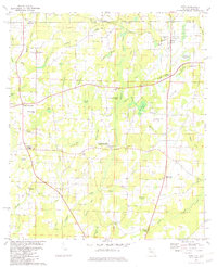
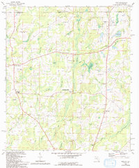
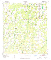
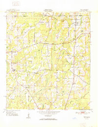
Loading map...1982 Map of Esto
USGS Topo · Published 1983About this map
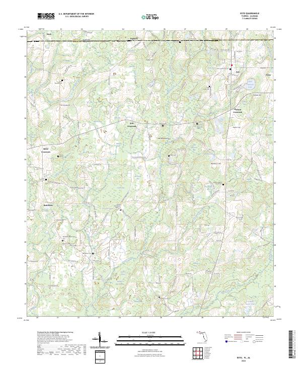
The borderlands of Florida and Alabama define this landscape, where the Louisville and Nashville railroad tracks cut through a terrain of numerous cypress-filled depressions and family-named bays. Local community life centers around established crossroads and spiritual sites such as the Bethlehem-West Florida Camp Meeting Ground and several rural churches, including Union Hill Ch and New Bayview Ch. These gatherings points, along with the High Sch at Bethlehem, indicate a dispersed but connected rural population.
Find a feature on this map
65 named features on this map. Tap any name to fly to it.
Don’t see what you’re looking for? This feature index may not catch every label — zoom into the map to look around manually.
Map Details
Date Portrayed1982
Date Published1983
PublisherU.S. Geological Survey
Map TypeTopographic
Scale1:24,000
Physical Dimensions21.9 x 27 inches
Editions of this 1982 Esto Map
2 editions found
Historical Maps of Esto Through Time
8 maps found

Featured Locations
Source Details
SourceU.S. Geological Survey
CopyrightPublic Domain