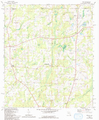
1982 Map of Esto
USGS Topo · Published 1993About this map
Bethlehem-West Florida Camp Meeting Ground and the Bethlehem High School anchor the social and educational life of this rural landscape straddling the Florida-Alabama border. The terrain is defined by a dense network of swampy "bays" and creeks, including Coates Bay, Lauflin Bay, and Wrights Creek, which influenced the placement of early settlements and roads. Local commerce and travel center on distinct junction points such as Holland Crossroads, Ards Crossroads, and Miller Crossroads.
Find a feature on this map
67 named features on this map. Tap any name to fly to it.
Don’t see what you’re looking for? This feature index may not catch every label — zoom into the map to look around manually.
Map Details
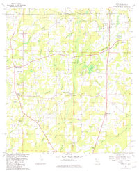
Editions of this 1982 Esto Map
2 editions found
Other maps of this area

1942 · Enterprise
USGS Topo · 1:125,000

1949 · Caryville
USGS Topo · 1:24,000

1950 · Caryville
USGS Topo · 1:24,000

1950 · Izagora
USGS Topo · 1:24,000

1950 · Chipley
USGS Topo · 1:24,000

1950 · Esto
USGS Topo · 1:24,000

1951 · Graceville
USGS Topo · 1:24,000

1951 · Esto
USGS Topo · 1:24,000

1951 · Chipley
USGS Topo · 1:24,000

1951 · Bonifay
USGS Topo · 1:24,000