
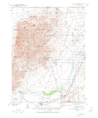
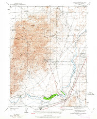
1939 Map of Eugene Mountains Area
USGS Topo · Published 1958About this map
The Eugene Mountains dominate the western half of this 1939 survey, a landscape defined by industrial extraction and historic transit corridors. The rugged slopes are marked by numerous hard-rock operations, most notably the Nevada Massachusetts Tungsten Mine on the eastern flank. Other workings like the Dutchman Mine and Golden Eagle Mine speak to the region's mineral-driven economy during the late 1930s.
Find a feature on this map
31 named features on this map. Tap any name to fly to it.
Don’t see what you’re looking for? This feature index may not catch every label — zoom into the map to look around manually.
Map Details
Editions of this 1939 Eugene Mountains Area Map
3 editions found
Other maps of this area

1931 · Lovelock
USGS Topo · 1:250,000

1932 · Sonoma Range
USGS Topo · 1:250,000

1935 · Lovelock
USGS Topo · 1:250,000

1939 · Sonoma Range
USGS Topo · 1:250,000

1942 · Eugene Mountains Area
USGS Topo · 1:62,500

1955 · Lovelock
USGS Topo · 1:250,000

1955 · Winnemucca
USGS Topo · 1:250,000

1956 · Imlay
USGS Topo · 1:62,500

1958 · Winnemucca
USGS Topo · 1:250,000

1958 · Rose Creek
USGS Topo · 1:62,500