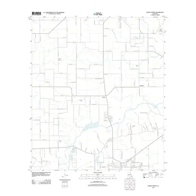
2012 Map of Eunice North
USGS Topo · Published 2012About this map
The agricultural and energy landscape of St. Landry Parish unfolds across this survey, centered on the unincorporated communities of Fenris and Redland. The terrain is defined by the winding course of Bayou Des Cannes, which provides a natural drainage artery for the surrounding fields and pastureland. The local economy is visibly tied to the extraction industry, marked by the extensive Fenris Oil and Gas Field and the North Eunice Gas Field. For genealogists, the map is a significant record of family history, preserving the locations of several lineage-based cemeteries including Reed, Rougeau, and Fontenot. A complex grid of rural roads like Rue Jolie Blonde and Clem Manuel Ln connects scattered farmsteads and homesites, illustrating the traditional settlement patterns of the Louisiana prairie.
Find a feature on this map
123 named features on this map. Tap any name to fly to it.
Don’t see what you’re looking for? This feature index may not catch every label — zoom into the map to look around manually.
Map Details
Editions of this 2012 Eunice North Map
This is the sole edition of this map. No revisions or reprints were ever made.
Other maps of this area

1947 · Ville Platte
USGS Topo · 1:31,680

1947 · Fruge Lake
USGS Topo · 1:31,680

1947 · Redland
USGS Topo · 1:31,680

1947 · Chataignier
USGS Topo · 1:31,680

1947 · Bond
USGS Topo · 1:31,680

1947 · Eunice
USGS Topo · 1:31,680

1947 · Pitreville
USGS Topo · 1:31,680

1947 · Basile
USGS Topo · 1:31,680

1949 · Basile
USGS Topo · 1:31,680

1952 · Lake Charles
USGS Topo · 1:250,000