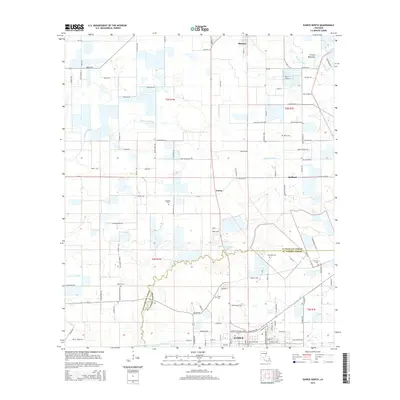
2015 Map of Eunice North
USGS Topo · Published 2015About this map
Prairie Mammou and the intricate network of coulees and gullies define this landscape in the Cajun heartland of Louisiana. The northern outskirts of Eunice and the smaller settlements of Fenris and Redland are documented here, showing a rural environment where land use follows the natural drainage of Coulee Valentine and Tiger Point Gully. The map illustrates the transition from the structured street grid of the city to a countryside patterned by parish roads and agricultural plots.
Find a feature on this map
112 named features on this map. Tap any name to fly to it.
Don’t see what you’re looking for? This feature index may not catch every label — zoom into the map to look around manually.
Map Details
Editions of this 2015 Eunice North Map
This is the sole edition of this map. No revisions or reprints were ever made.
Other maps of this area

1947 · Ville Platte
USGS Topo · 1:31,680

1947 · Fruge Lake
USGS Topo · 1:31,680

1947 · Redland
USGS Topo · 1:31,680

1947 · Chataignier
USGS Topo · 1:31,680

1947 · Bond
USGS Topo · 1:31,680

1947 · Eunice
USGS Topo · 1:31,680

1947 · Pitreville
USGS Topo · 1:31,680

1947 · Basile
USGS Topo · 1:31,680

1949 · Basile
USGS Topo · 1:31,680

1952 · Lake Charles
USGS Topo · 1:250,000