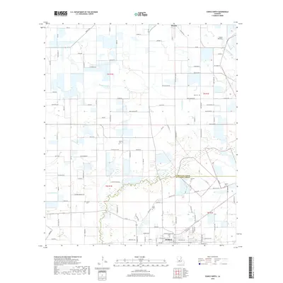
2018 Map of Eunice North
USGS Topo · Published 2018About this map
Prairie Mamou defines the northern reaches of this landscape, where the agricultural plains of Evangeline and St. Landry Parishes meet. The northern edge of Eunice anchor the bottom of the map, showing the city's expansion near the junction of La 13 and local routes like Old Shcool Hse Rd. The terrain is crisscrossed by a network of drainage ways and bayous, including the winding course of Coulee Valentine and Tiger Point Gully.
Find a feature on this map
124 named features on this map. Tap any name to fly to it.
Don’t see what you’re looking for? This feature index may not catch every label — zoom into the map to look around manually.
Map Details
Editions of this 2018 Eunice North Map
This is the sole edition of this map. No revisions or reprints were ever made.
Other maps of this area

1947 · Ville Platte
USGS Topo · 1:31,680

1947 · Fruge Lake
USGS Topo · 1:31,680

1947 · Redland
USGS Topo · 1:31,680

1947 · Chataignier
USGS Topo · 1:31,680

1947 · Bond
USGS Topo · 1:31,680

1947 · Eunice
USGS Topo · 1:31,680

1947 · Pitreville
USGS Topo · 1:31,680

1947 · Basile
USGS Topo · 1:31,680

1949 · Basile
USGS Topo · 1:31,680

1952 · Lake Charles
USGS Topo · 1:250,000