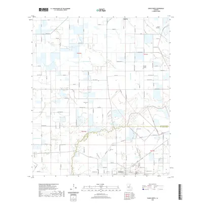
2020 Map of Eunice North
USGS Topo · Published 2020About this map
Prairie Mamou defines the northern reaches of this coastal plain landscape, where the boundary between Evangeline Parish and St. Landry Parish cuts through an intricate network of drainage coulees and gully systems. The settlement of Eunice anchors the southern margin, while Mamou sits at the northern edge, connected by a dense grid of rural roads often named for local families. These family names are reflected in the numerous burial grounds scattered across the terrain, such as Fontenot Cem, Guillory Cem, and Miller Cem. The hydrography of the region is characterized by winding watercourses like Coulee Valentine and Fontenots Gully, alongside smaller features like Fred Bellow Lake. The map reveals a highly structured agricultural landscape where traditional parish lines and modern township-range divisions intersect.
Find a feature on this map
127 named features on this map. Tap any name to fly to it.
Don’t see what you’re looking for? This feature index may not catch every label — zoom into the map to look around manually.
Map Details
Editions of this 2020 Eunice North Map
This is the sole edition of this map. No revisions or reprints were ever made.
Other maps of this area

1947 · Ville Platte
USGS Topo · 1:31,680

1947 · Fruge Lake
USGS Topo · 1:31,680

1947 · Redland
USGS Topo · 1:31,680

1947 · Chataignier
USGS Topo · 1:31,680

1947 · Bond
USGS Topo · 1:31,680

1947 · Eunice
USGS Topo · 1:31,680

1947 · Pitreville
USGS Topo · 1:31,680

1947 · Basile
USGS Topo · 1:31,680

1949 · Basile
USGS Topo · 1:31,680

1952 · Lake Charles
USGS Topo · 1:250,000