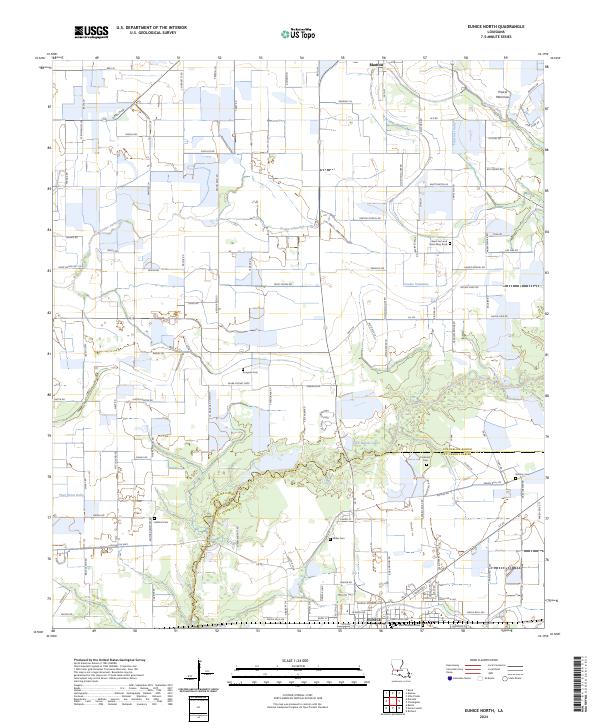
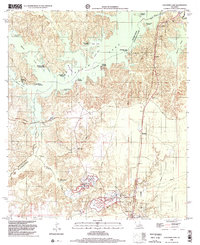
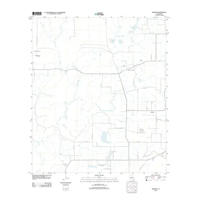
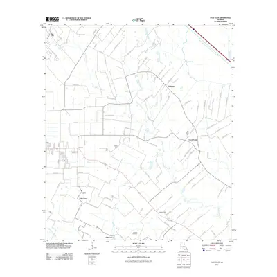
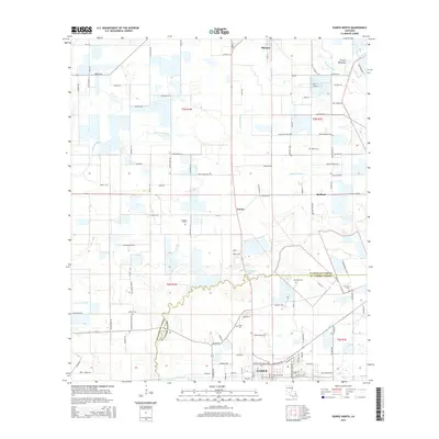
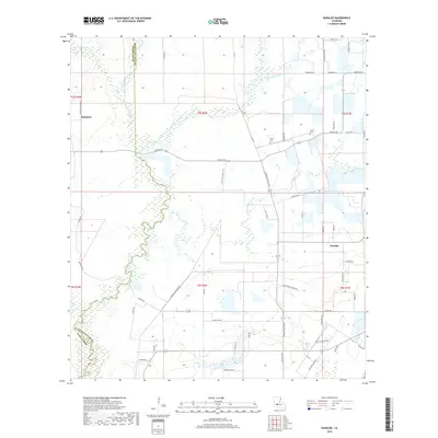
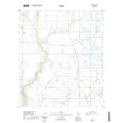
2024 Map of Eunice North
USGS Topo · Published 2024About this map
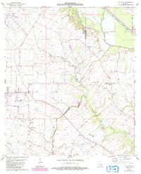
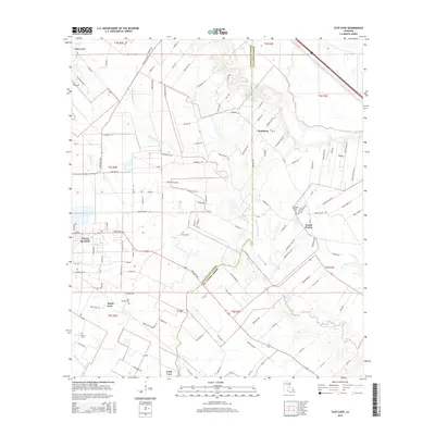
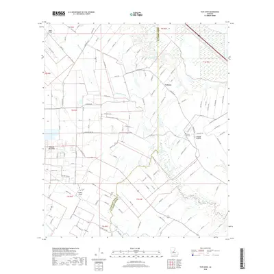
Mamou and northern Eunice anchor this detailed survey of the coastal prairie region where Evangeline and St. Landry Parishes meet. The landscape is defined by a dense network of coulees and gullies, such as Coulee Valentine and Fontenots Gully, which drain the open agricultural expanses of Prairie Mamou. This region is characterized by small, family-associated burial grounds scattered across the countryside, including Rougeau Cem, Miller Cem, and Fontenot Cem, reflecting the deep-rooted genealogical heritage of the Acadiana prairie. The map captures the modern road grid including Oberlin Rd and Reeton School Rd, interspersed with significant tracts of the Farm Service Agency Interest of Louisiana. The inclusion of Fred Bellow Lake and numerous drainage canals illustrates the intensive water management required for the local rice and crawfish farming traditional to this part of Louisiana.
Find a feature on this map
121 named features on this map. Tap any name to fly to it.
Don’t see what you’re looking for? This feature index may not catch every label — zoom into the map to look around manually.
Map Details
Editions of this 2024 Eunice North Map
This is the sole edition of this map. No revisions or reprints were ever made.
Historical Maps of Eunice Through Time
56 maps found

1935 Beaver
Evangeline Parish, LA

1947 Bond
Evangeline Parish, LA

1947 Fruge Lake
Evangeline Parish, LA

1947 Redland
Evangeline Parish, LA

1954 Beaver
Evangeline Parish, LA

1954 Fruge Lake
Evangeline Parish, LA
1967 Cocodrie Lake
Evangeline Parish, LA
1967 Lone Pine
Evangeline Parish, LA
1967 St. Landry
Evangeline Parish, LA

1968 Beaver
Evangeline Parish, LA

1983 Eunice North
Evangeline Parish, LA
1983 Tate Cove
Evangeline Parish, LA
1986 Bond
Evangeline Parish, LA
1986 Duralde
Evangeline Parish, LA
1998 Beaver
Evangeline Parish, LA
1998 Cocodrie Lake
Evangeline Parish, LA
2012 Beaver
Evangeline Parish, LA
2012 Bond
Evangeline Parish, LA
2012 Cocodrie Lake
Evangeline Parish, LA
2012 Duralde
Evangeline Parish, LA
2012 Eunice North
Evangeline Parish, LA
2012 Lone Pine
Evangeline Parish, LA
2012 Saint Landry
Evangeline Parish, LA
2012 Tate Cove
Evangeline Parish, LA
2015 Beaver
Evangeline Parish, LA
2015 Bond
Evangeline Parish, LA
2015 Cocodrie Lake
Evangeline Parish, LA
2015 Duralde
Evangeline Parish, LA
2015 Eunice North
Evangeline Parish, LA
2015 Lone Pine
Evangeline Parish, LA
2015 Saint Landry
Evangeline Parish, LA
2015 Tate Cove
Evangeline Parish, LA
2018 Beaver
Evangeline Parish, LA
2018 Bond
Evangeline Parish, LA
2018 Cocodrie Lake
Evangeline Parish, LA
2018 Duralde
Evangeline Parish, LA
2018 Eunice North
Evangeline Parish, LA
2018 Lone Pine
Evangeline Parish, LA
2018 Saint Landry
Evangeline Parish, LA
2018 Tate Cove
Evangeline Parish, LA
2020 Beaver
Evangeline Parish, LA
2020 Bond
Evangeline Parish, LA
2020 Cocodrie Lake
Evangeline Parish, LA
2020 Duralde
Evangeline Parish, LA

2020 Eunice North
Evangeline Parish, LA
2020 Lone Pine
Evangeline Parish, LA
2020 Saint Landry
Evangeline Parish, LA
2020 Tate Cove
Evangeline Parish, LA
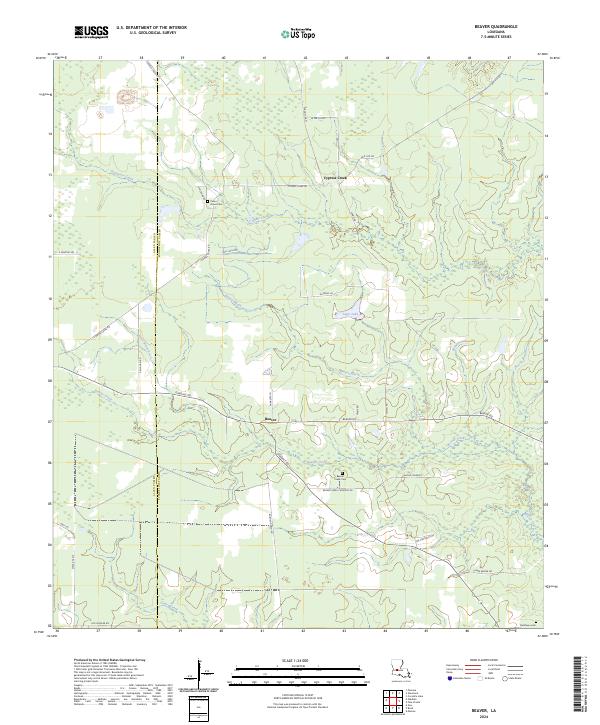
2024 Beaver
Evangeline Parish, LA
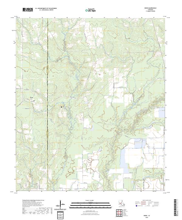
2024 Bond
Evangeline Parish, LA
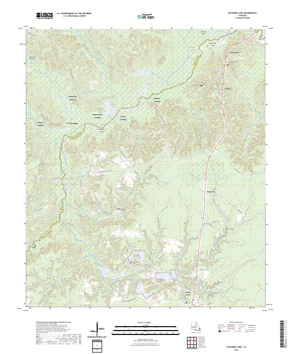
2024 Cocodrie Lake
Evangeline Parish, LA
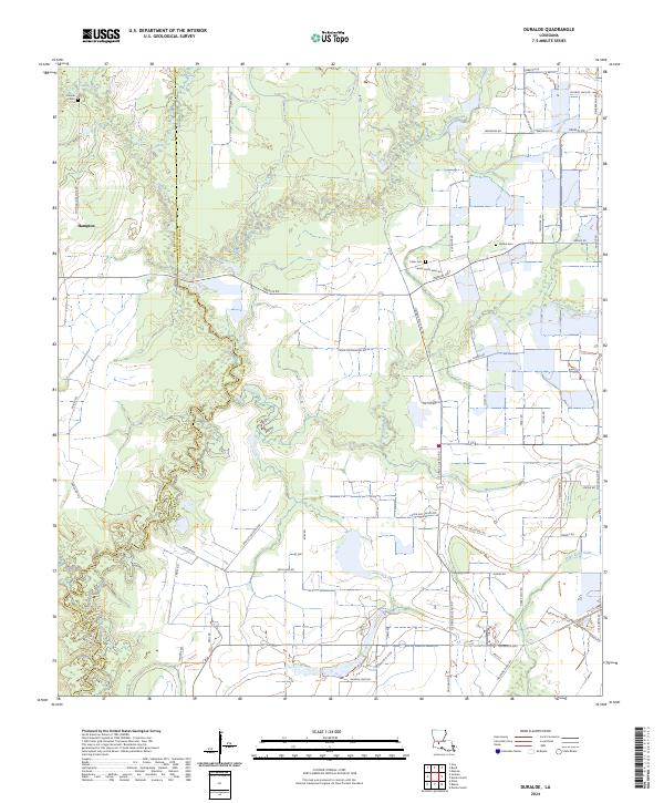
2024 Duralde
Evangeline Parish, LA
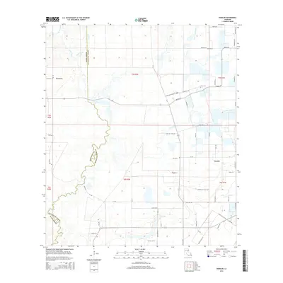
2024 Eunice North
Evangeline Parish, LA
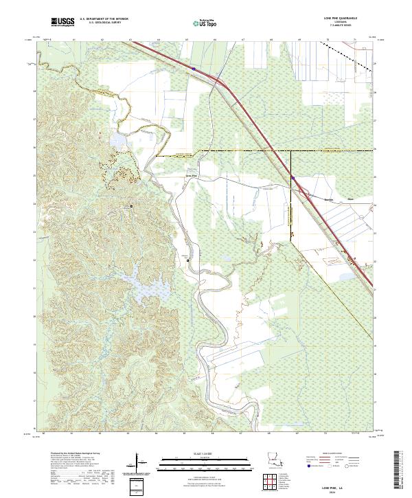
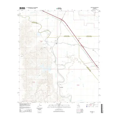
2024 Lone Pine
Evangeline Parish, LA
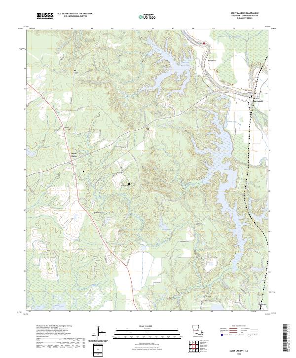
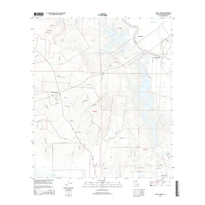
2024 Saint Landry
Evangeline Parish, LA
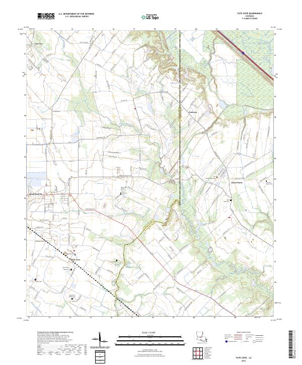
2024 Tate Cove
Evangeline Parish, LA