
1969 Map of Eunice SE
USGS Topo · Published 1972About this map
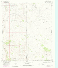
The New Mexico Texas state line bisects this 1960s landscape, where the high desert terrain is defined by a dense network of petroleum exploration. Large-scale production is evident throughout the region, with the Paddock South Oil Field, Drinkard Oil Field, and Nelson Oil Field marking the ground with numerous Oil Wells, drill holes, and gravel pits. The arid topography is dominated by the broad, meandering path of Monument Draw, which cuts through the western portion of the survey area. Human habitation is sparse in this industrial environment, centered on the Giles Ranch. An intricate web of unimproved roads and a Jeep Trail provide the primary means of navigation across the state boundary, connecting the various well sites and the southern State Line Oil Field at the edge of Andrews County.
Find a feature on this map
14 named features on this map. Tap any name to fly to it.
Don’t see what you’re looking for? This feature index may not catch every label — zoom into the map to look around manually.
Map Details
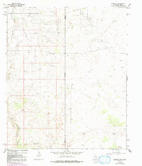
Editions of this 1969 Eunice SE Map
Other maps of this area

1954 · Hobbs
USGS Topo · 1:250,000

1958 · Hobbs
USGS Topo · 1:250,000

1969 · Jal NE
USGS Topo · 1:24,000

1969 · Eunice
USGS Topo · 1:24,000

1969 · Eunice NE
USGS Topo · 1:24,000

1969 · Jal NW
USGS Topo · 1:24,000

1969 · Rattlesnake Canyon
USGS Topo · 1:24,000

1971 · Jumbo Hill
USGS Topo · 1:24,000

1971 · Figure Seven Ranch
USGS Topo · 1:24,000

1971 · Frankel City SW
USGS Topo · 1:24,000