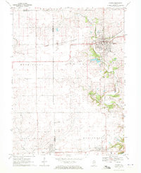
1970 Map of Eureka
USGS Topo · Published 1972About this map
Eureka serves as a significant central Illinois hub in this 1970 field-checked survey, most notably as the home of Eureka College. The landscape is defined by its strategic intersection of rail lines, including the Toledo Peoria and Western and the Atchison Topeka and Santa Fe crossing in the north, while the Norfolk and Western serves the southern settlements of Deer Creek and Goodfield. This rail network underscores the region's agricultural and industrial foundations, supported by local extraction sites like the Gravel Pits along Walnut Creek.
Find a feature on this map
40 named features on this map. Tap any name to fly to it.
Don’t see what you’re looking for? This feature index may not catch every label — zoom into the map to look around manually.
Map Details
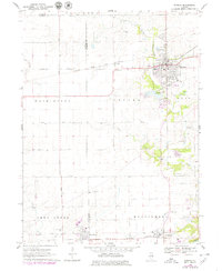
Editions of this 1970 Eureka Map
2 editions found
Other maps of this area

1893 · Metamora
USGS Topo · 1:62,500

1927 · Danvers
USGS Topo · 1:62,500

1928 · Mackinaw
USGS Topo · 1:62,500

1930 · Danvers
USGS Topo · 1:62,500

1932 · Mackinaw
USGS Topo · 1:62,500

1937 · Metamora
USGS Topo · 1:62,500

1948 · Metamora
USGS Topo · 1:62,500

1955 · Minonk
USGS Topo · 1:62,500

1958 · Peoria
USGS Topo · 1:250,000

1961 · Peoria
USGS Topo · 1:250,000