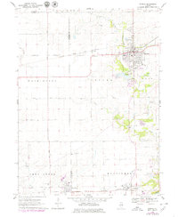
1970 Map of Eureka
USGS Topo · Published 1979About this map
Eureka College anchors the northeastern portion of this Woodford County landscape, centered on the growing community of Eureka. The area is defined by its deep agricultural roots and a sophisticated network of mid-century transportation, where the Toledo Peoria and Western and Atchison Topeka and Santa Fe railroads intersect. These rail lines, alongside the Peoria and Eastern and Norfolk and Western to the south, supported the small grain elevators and rural junctions like Cruger and Goodfield.
Find a feature on this map
47 named features on this map. Tap any name to fly to it.
Don’t see what you’re looking for? This feature index may not catch every label — zoom into the map to look around manually.
Map Details
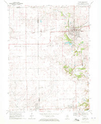
Editions of this 1970 Eureka Map
2 editions found
Other maps of this area

1893 · Metamora
USGS Topo · 1:62,500

1927 · Danvers
USGS Topo · 1:62,500

1928 · Mackinaw
USGS Topo · 1:62,500

1930 · Danvers
USGS Topo · 1:62,500

1932 · Mackinaw
USGS Topo · 1:62,500

1937 · Metamora
USGS Topo · 1:62,500

1948 · Metamora
USGS Topo · 1:62,500

1955 · Minonk
USGS Topo · 1:62,500

1958 · Peoria
USGS Topo · 1:250,000

1961 · Peoria
USGS Topo · 1:250,000