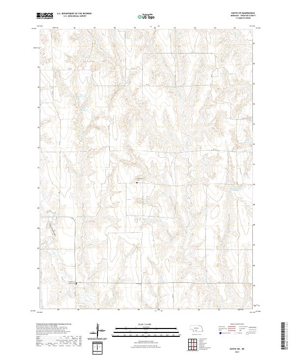
2021 Map of Eustis SW
USGS Topo · Published 2021About this map
Pleasant Hill Martin Cem and Independence Cem anchor this 2021 topographic map of Frontier County, Nebraska, providing vital landmarks for genealogists and local historians. The landscape is defined by the sharp incisions of Deer Creek Canyon and the winding course of Deer Cr in the south, while W Muddy Cr traverses the northern reaches.
Find a feature on this map
26 named features on this map. Tap any name to fly to it.
Don’t see what you’re looking for? This feature index may not catch every label — zoom into the map to look around manually.
Map Details
Editions of this 2021 Eustis SW Map
This is the sole edition of this map. No revisions or reprints were ever made.
Other maps of this area

1902 · Gothenburg
USGS Topo · 1:125,000

1954 · McCook
USGS Topo · 1:250,000

1956 · Freedom
USGS Topo · 1:24,000

1956 · Stockville NE
USGS Topo · 1:24,000

1956 · Medicine Creek Dam
USGS Topo · 1:24,000

1956 · Stockville SE
USGS Topo · 1:24,000

1957 · McCook
USGS Topo · 1:250,000

1958 · McCook
USGS Topo · 1:250,000
1970 · Eustis SW
USGS Topo · 1:24,000
1970 · Eustis
USGS Topo · 1:24,000