Loading...
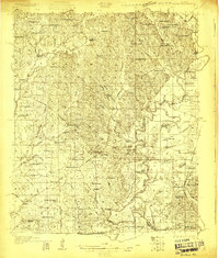
Loading map...1931 Map of Eutaw
USGS Topo · Published 1950About this map
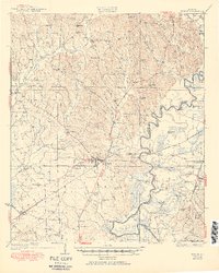
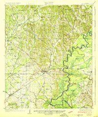
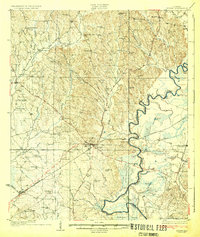
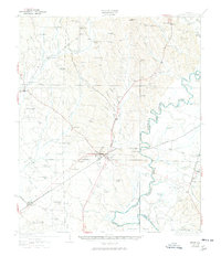
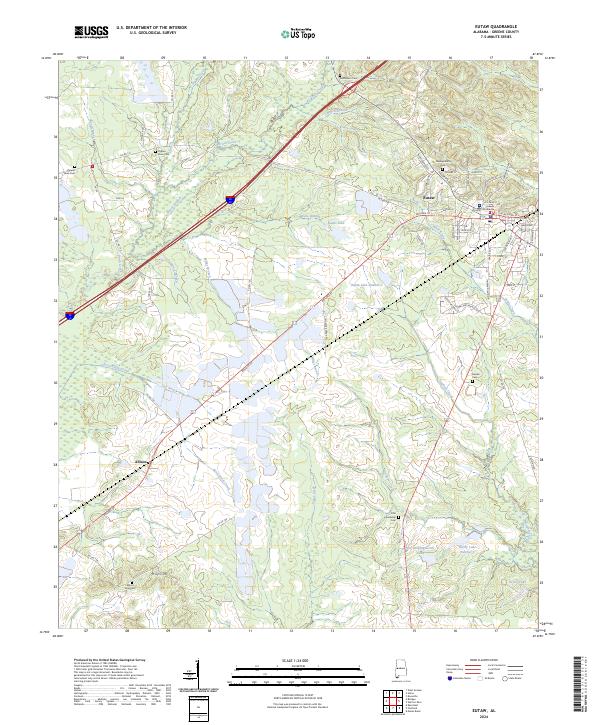
Eutaw serves as the focal point of this Greene County landscape, situated where the Southern railroad intersects a complex network of local roads. The town's surrounding territory is defined by the winding course of the Black Warrior River, which forms the border with Hale County. Along its banks, traditional river access points like Finches Ferry and Parhams Landing appear alongside industrial infrastructure including Lock 7 and Lock 8.
Find a feature on this map
90 named features on this map. Tap any name to fly to it.
Don’t see what you’re looking for? This feature index may not catch every label — zoom into the map to look around manually.
Map Details
Date Portrayed1931
Date Published1950
PublisherU.S. Geological Survey
Map TypeTopographic
Scale1:62,500
Physical Dimensions16.71 x 20.87 inches
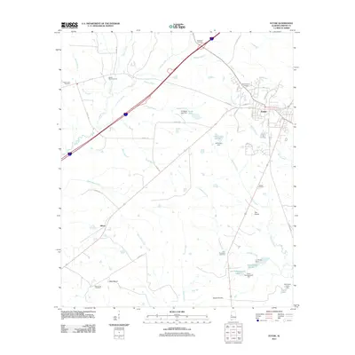
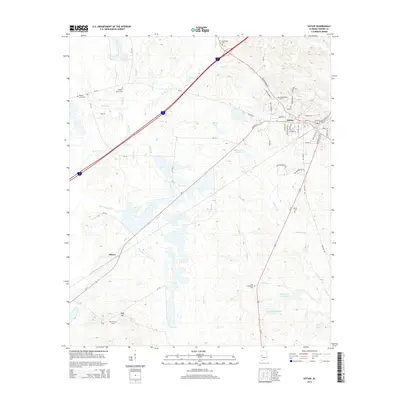
Editions of this 1931 Eutaw Map
4 editions found
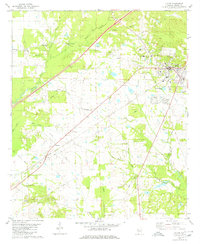
Historical Maps of Eutaw Through Time
8 maps found
Featured Locations
Source Details
SourceU.S. Geological Survey
CopyrightPublic Domain