Loading...
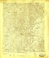
Loading map...1931 Map of Eutaw
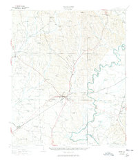
USGS Topo · Published 1978About this map
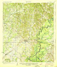
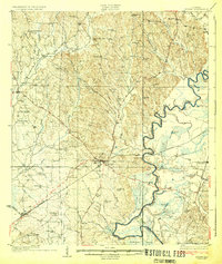
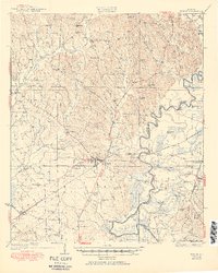
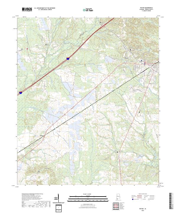
The town of Eutaw serves as the focal point of this 1927 survey, sitting at the junction of the Southern railroad and several local roads. The landscape is defined by the winding course of the Black Warrior River, which forms the boundary between Greene and Hale counties. Historic river crossings and access points like Finches Ferry and Parhams Landing reflect the era's reliance on the waterway for transport and trade.
Find a feature on this map
85 named features on this map. Tap any name to fly to it.
Don’t see what you’re looking for? This feature index may not catch every label — zoom into the map to look around manually.
Map Details
Date Portrayed1931
Date Published1978
PublisherU.S. Geological Survey
Map TypeTopographic
Scale1:62,500
Physical Dimensions18 x 21.7 inches
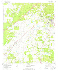
Editions of this 1931 Eutaw Map
4 editions found
Historical Maps of Eutaw Through Time
8 maps found
Featured Locations
Source Details
SourceU.S. Geological Survey
CopyrightPublic Domain