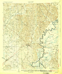
1931 Map of Eutaw
USGS Topo · Published 1931About this map
The Black Warrior River serves as the dominant geographical feature of this 1931 survey, marking the jagged eastern boundary of Greene County. The map documents the critical infrastructure of the era, including Lock 7 and Lock 8, which facilitated river navigation alongside the Southern Railway and Alabama Great Southern RR networks. These transportation corridors converge near the regional hub of Eutaw, while the surrounding landscape is punctuated by a dense network of local landmarks reflecting early 20th-century rural life.
Find a feature on this map
78 named features on this map. Tap any name to fly to it.
Don’t see what you’re looking for? This feature index may not catch every label — zoom into the map to look around manually.
Map Details
Editions of this 1931 Eutaw Map
4 editions found
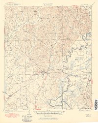
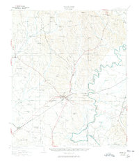
Other maps of this area

1924 · Tuscaloosa
USGS Topo · 1:62,500

1926 · Tuscaloosa
USGS Topo · 1:62,500

1927 · Eutaw
USGS Topo · 1:48,000

1929 · Epes
USGS Topo · 1:48,000

1931 · Eutaw
USGS Topo · 1:62,500

1932 · Epes
USGS Topo · 1:62,500

1947 · Mason Bend
USGS Topo · 1:24,000

1947 · Forkland
USGS Topo · 1:24,000

1948 · Mason Bend
USGS Topo · 1:24,000

1949 · Forkland
USGS Topo · 1:24,000