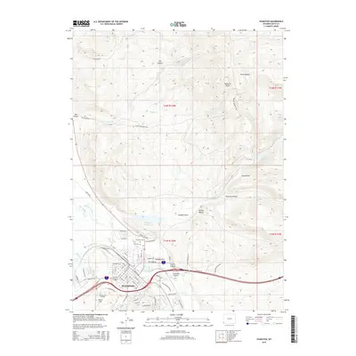
2015 Map of Evanston
USGS Topo · Published 2015About this map
The Bear River winds through the southwestern corner of this survey, defining the valley where Evanston has grown along the historic transportation corridor. This 2015 layout shows a community balanced between its industrial roots and modern expansion, evidenced by the presence of Hamblin Park and the Business Skills Institute. Local history and genealogy interest is centered on the City Cem and Evanston Cem near the river, while the complex irrigation history of the high desert is visible through features like the City Ditch and Old City Ditch.
Find a feature on this map
77 named features on this map. Tap any name to fly to it.
Don’t see what you’re looking for? This feature index may not catch every label — zoom into the map to look around manually.
Map Details
Editions of this 2015 Evanston Map
This is the sole edition of this map. No revisions or reprints were ever made.
Other maps of this area

1954 · Ogden
USGS Topo · 1:250,000

1958 · Ogden
USGS Topo · 1:250,000

1960 · Ogden
USGS Topo · 1:250,000

1965 · Evanston
USGS Topo · 1:24,000

1965 · Little Dee Creek
USGS Topo · 1:24,000

1965 · Sulphur Creek Reservoir
USGS Topo · 1:24,000

1965 · Guild Hollow
USGS Topo · 1:24,000

1965 · Three Forks
USGS Topo · 1:24,000

1965 · Millis
USGS Topo · 1:24,000

1968 · Wahsatch
USGS Topo · 1:24,000