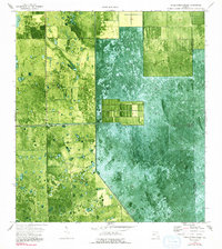
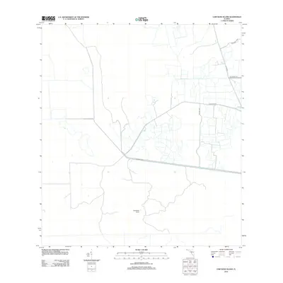
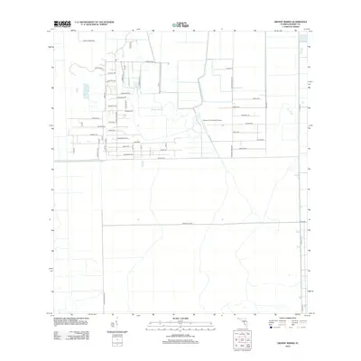
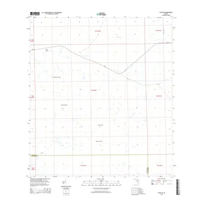
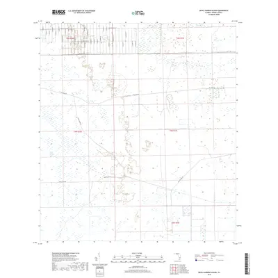
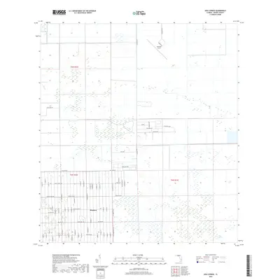
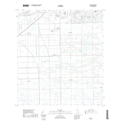
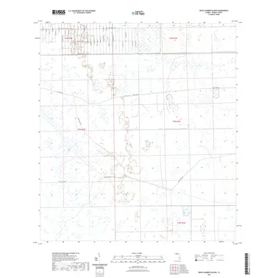
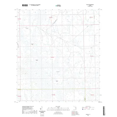
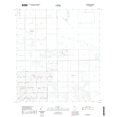
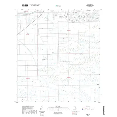
1974 Map of Everglades 2 NW
USGS Topo · Published 1991About this map
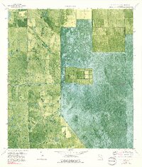
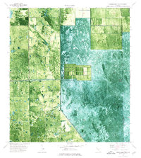
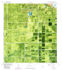
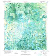
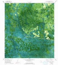
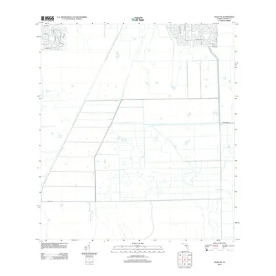
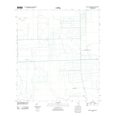
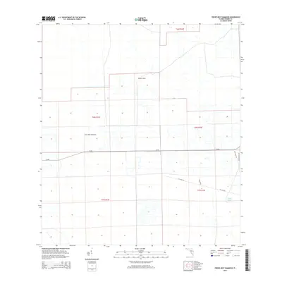
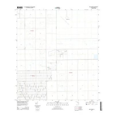
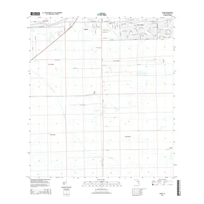
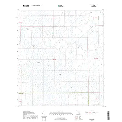
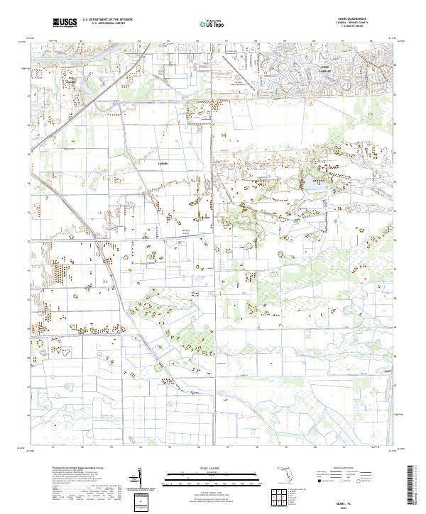
Agricultural development and water management define this landscape on the boundary of Hendry Co and Palm Beach Co. The orthophotomap imagery highlights a distinct transition between the natural, water-saturated terrain of the Cypress Swamp and the geometric precision of human engineering. The Deer Fence Canal cuts a straight line across the center of the sheet, illustrating the mid-century efforts to drain and reclaim the Everglades for large-scale farming. In the southern half of the map, Levee 3 stands as a massive barrier against the natural flow of water, while a small Landing Strip nearby suggests the importance of aerial access in this remote portion of the Florida interior. These features together document a period of significant environmental modification for citrus or sugarcane production.
Find a feature on this map
6 named features on this map. Tap any name to fly to it.
Don’t see what you’re looking for? This feature index may not catch every label — zoom into the map to look around manually.
Map Details
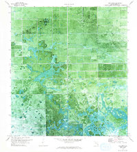
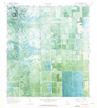
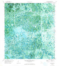
Editions of this 1974 Everglades 2 NW Map
3 editions found
Historical Maps of Palm Beach County Through Time
98 maps found
1958 Felda
Hendry County, FL
1958 Felda NE
Hendry County, FL
1958 Felda SE
Hendry County, FL
1958 Sears
Hendry County, FL
1970 Clewiston South
Hendry County, FL
1970 Devils Garden Slough
Hendry County, FL
1970 Grassy Marsh
Hendry County, FL
1970 Hog Cypress
Hendry County, FL
1970 Lake Harbor SW
Hendry County, FL
1971 Graham Marsh
Hendry County, FL
1974 Cow Bone Island
Hendry County, FL
1974 Crows Nest Hammock
Hendry County, FL
1974 Doctors Hammock
Hendry County, FL
1974 Goddens Strand
Hendry County, FL
1974 Little Cypress Swamp
Hendry County, FL
1974 Rocky Lake Strand
Hendry County, FL
1994 Lake Harbor SW
Hendry County, FL
2012 Clewiston South
Hendry County, FL
2012 Cow Bone Island
Hendry County, FL
2012 Crows Nest Hammock
Hendry County, FL
2012 Devils Garden Slough
Hendry County, FL

2012 Doctors Hammock
Hendry County, FL
2012 Felda
Hendry County, FL
2012 Felda NE
Hendry County, FL
2012 Felda SE
Hendry County, FL
2012 Goddens Strand
Hendry County, FL
2012 Graham Marsh
Hendry County, FL
2012 Grassy Marsh
Hendry County, FL
2012 Hog Cypress
Hendry County, FL
2012 Lake Harbor SW
Hendry County, FL
2012 Little Cypress Swamp
Hendry County, FL
2012 Rocky Lake Strand
Hendry County, FL
2012 Sears
Hendry County, FL
2015 Clewiston South
Hendry County, FL
2015 Cow Bone Island
Hendry County, FL
2015 Crows Nest Hammock
Hendry County, FL
2015 Devils Garden Slough
Hendry County, FL
2015 Doctors Hammock
Hendry County, FL

2015 Felda
Hendry County, FL
2015 Felda NE
Hendry County, FL
2015 Felda SE
Hendry County, FL
2015 Goddens Strand
Hendry County, FL
2015 Graham Marsh
Hendry County, FL
2015 Grassy Marsh
Hendry County, FL
2015 Hog Cypress
Hendry County, FL
2015 Lake Harbor SW
Hendry County, FL
2015 Little Cypress Swamp
Hendry County, FL
2015 Rocky Lake Strand
Hendry County, FL
2015 Sears
Hendry County, FL
2018 Clewiston South
Hendry County, FL
2018 Cow Bone Island
Hendry County, FL
2018 Crows Nest Hammock
Hendry County, FL
2018 Devils Garden Slough
Hendry County, FL
2018 Doctors Hammock
Hendry County, FL
2018 Felda
Hendry County, FL
2018 Felda NE
Hendry County, FL
2018 Felda SE
Hendry County, FL
2018 Goddens Strand
Hendry County, FL
2018 Graham Marsh
Hendry County, FL
2018 Grassy Marsh
Hendry County, FL
2018 Hog Cypress
Hendry County, FL
2018 Lake Harbor SW
Hendry County, FL
2018 Little Cypress Swamp
Hendry County, FL
2018 Rocky Lake Strand
Hendry County, FL
2018 Sears
Hendry County, FL
2021 Clewiston South
Hendry County, FL
2021 Cow Bone Island
Hendry County, FL
2021 Crows Nest Hammock
Hendry County, FL
2021 Devils Garden Slough
Hendry County, FL
2021 Doctors Hammock
Hendry County, FL
2021 Felda
Hendry County, FL
2021 Felda NE
Hendry County, FL
2021 Felda SE
Hendry County, FL
2021 Goddens Strand
Hendry County, FL
2021 Graham Marsh
Hendry County, FL
2021 Grassy Marsh
Hendry County, FL
2021 Hog Cypress
Hendry County, FL
2021 Lake Harbor SW
Hendry County, FL
2021 Little Cypress Swamp
Hendry County, FL
2021 Rocky Lake Strand
Hendry County, FL
2021 Sears
Hendry County, FL

2023 Sears
Hendry County, FL
2024 Clewiston South
Hendry County, FL
2024 Cow Bone Island
Hendry County, FL
2024 Crows Nest Hammock
Hendry County, FL
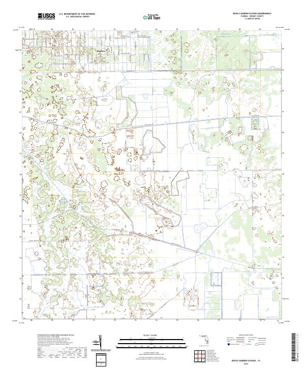
2024 Devils Garden Slough
Hendry County, FL
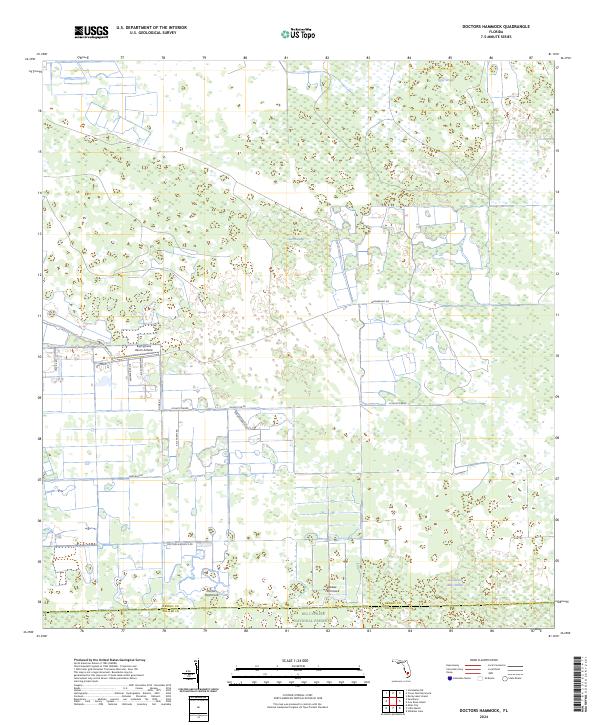
2024 Doctors Hammock
Hendry County, FL
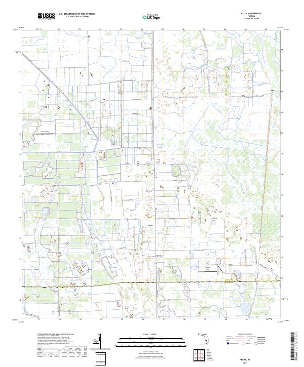
2024 Felda
Hendry County, FL
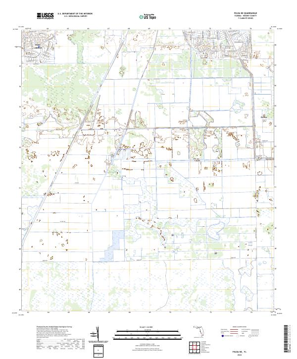
2024 Felda NE
Hendry County, FL
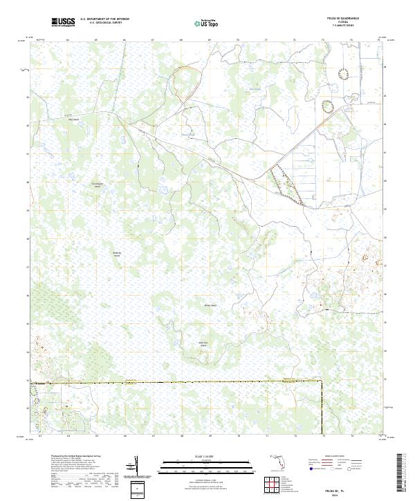
2024 Felda SE
Hendry County, FL
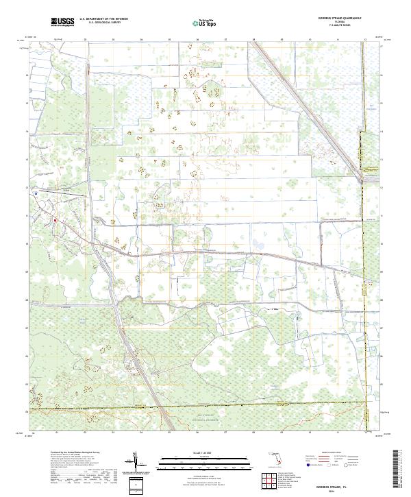
2024 Goddens Strand
Hendry County, FL
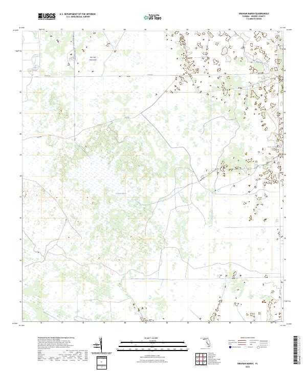
2024 Graham Marsh
Hendry County, FL
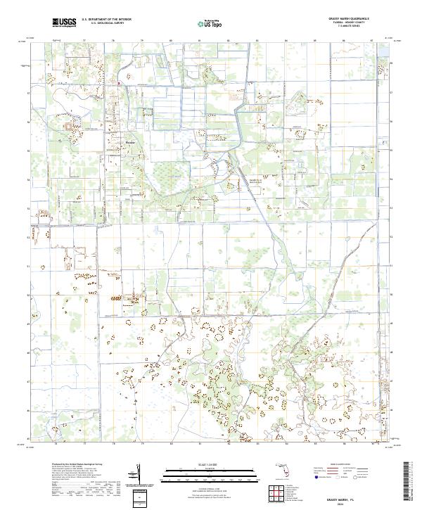
2024 Grassy Marsh
Hendry County, FL
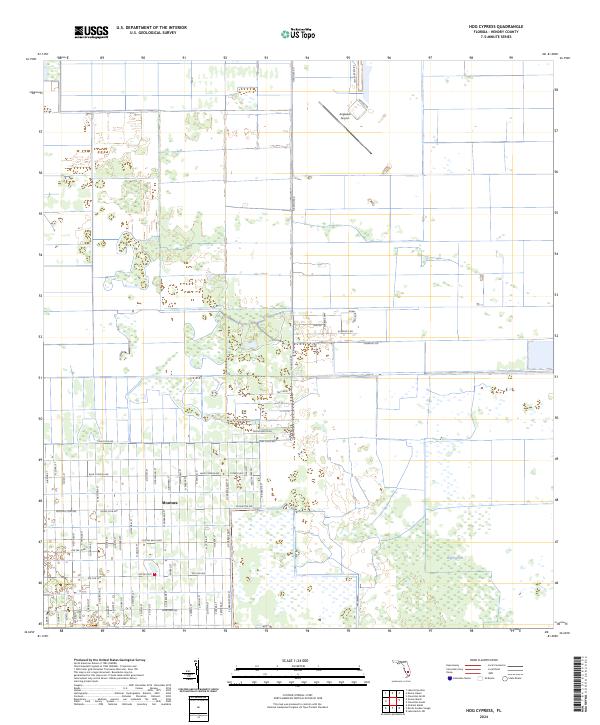
2024 Hog Cypress
Hendry County, FL
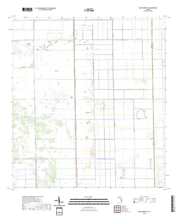
2024 Lake Harbor SW
Hendry County, FL
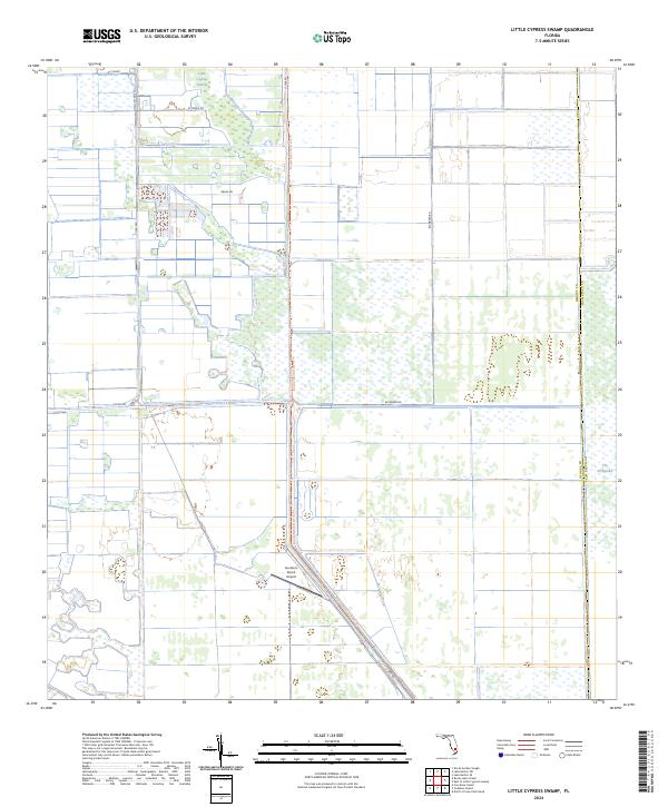
2024 Little Cypress Swamp
Hendry County, FL
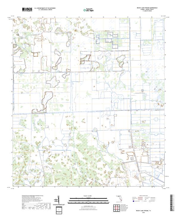
2024 Rocky Lake Strand
Hendry County, FL
2024 Sears
Hendry County, FL