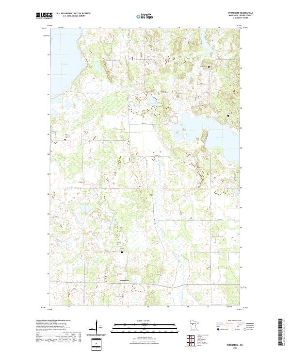
2022 Map of Evergreen
USGS Topo · Published 2022About this map
Evergreen sits at the southern edge of this Becker County landscape, where the headwaters of the Redeye River emerge from a complex network of wetlands and glacial lakes. The terrain is defined by its numerous water bodies, including the expansive Toad Lake in the northwest and the centrally located Sock Lake. This area, organized under several townships including t139n r38w, maintains a quiet, rural character with a road network of county roads and avenues that connect scattered homesteads and local landmarks.
Find a feature on this map
41 named features on this map. Tap any name to fly to it.
Don’t see what you’re looking for? This feature index may not catch every label — zoom into the map to look around manually.
Map Details
Editions of this 2022 Evergreen Map
This is the sole edition of this map. No revisions or reprints were ever made.
Other maps of this area
1915 · Perham
USGS Topo · 1:62,500
1953 · Brainerd
USGS Topo · 1:250,000
1957 · Brainerd
USGS Topo · 1:250,000
1958 · Brainerd
USGS Topo · 1:250,000
1959 · Toad Mountain
USGS Topo · 1:24,000
1959 · Height Of Land Lake
USGS Topo · 1:24,000
1965 · Brainerd
USGS Topo · 1:250,000
1969 · Wolf Lake
USGS Topo · 1:24,000
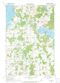
1969 · Evergreen
USGS Topo · 1:24,000
1969 · New York Mills NW
USGS Topo · 1:24,000