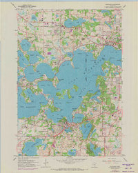
1958 Map of Excelsior
USGS Topo · Published 1973About this map
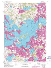
The complex shoreline of Lake Minnetonka dominates this mid-century portrait of suburban Hennepin County, where established lakeside communities like Excelsior and Wayzata are shown alongside evolving recreational and residential developments. The 1972 photorevisions, indicated in purple, highlight the growth of transportation and housing around the Lower Lake and northern bays. Several country clubs, including Woodhill Country Club and Lafayette Country Club, dot the landscape, reflecting the area's long-standing status as a premier destination for leisure and seasonal living.
Find a feature on this map
108 named features on this map. Tap any name to fly to it.
Don’t see what you’re looking for? This feature index may not catch every label — zoom into the map to look around manually.
Map Details
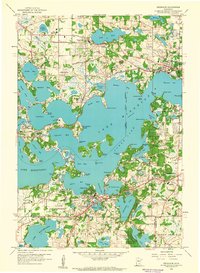
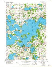
Editions of this 1958 Excelsior Map
5 editions found
Other maps of this area

1896 · Minneapolis
USGS Topo · 1:62,500

1901 · Minneapolis
USGS Topo · 1:62,500

1902 · Anoka
USGS Topo · 1:62,500

1905 · Minnetonka
USGS Topo · 1:62,500

1907 · Minnetonka
USGS Topo · 1:62,500

1909 · Rockford
USGS Topo · 1:62,500

1953 · Saint Paul
USGS Topo · 1:250,000

1953 · Stillwater
USGS Topo · 1:250,000

1954 · Hopkins
USGS Topo · 1:24,000

1954 · Eden Prairie
USGS Topo · 1:24,000