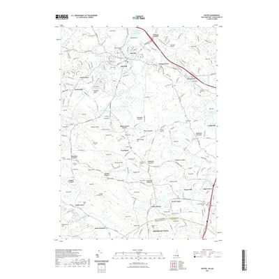
2021 Map of Exeter
USGS Topo · Published 2021About this map
Exeter occupies the northern reaches of this coastal river landscape, where the Squamscott River and Exeter River meet at Powderhouse Point. The area is characterized by numerous established neighborhoods and crossroads, including Jady Hill, Haynes Corner, and Prescott Corner. Genealogical interest is high given the density of burial grounds such as Exeter Cem, Village Cem, and the Sanborn-Brown Cem near Sanborn Corners. South of the main settlement, the terrain transitions toward Kensington and South Hampton, punctuated by local landmarks like Moulton Ridge and Gove Hill. Historical industrial and aviation points such as Coffins Mill and Propwash Airport suggest the varied land use throughout this New Hampshire and Massachusetts borderland, while Queens Bridge spans the waterways connecting these long-settled communities.
Find a feature on this map
247 named features on this map. Tap any name to fly to it.
Don’t see what you’re looking for? This feature index may not catch every label — zoom into the map to look around manually.
Map Details
Editions of this 2021 Exeter Map
This is the sole edition of this map. No revisions or reprints were ever made.
Other maps of this area

1888 · Newburyport
USGS Topo · 1:62,500

1888 · Haverhill
USGS Topo · 1:62,500

1890 · Haverhill
USGS Topo · 1:62,500

1890 · Newburyport
USGS Topo · 1:62,500

1893 · Dover
USGS Topo · 1:62,500

1893 · Haverhill
USGS Topo · 1:62,500

1894 · Newburyport
USGS Topo · 1:62,500

1916 · Dover
USGS Topo · 1:62,500

1917 · Mt. Pawtuckaway
USGS Topo · 1:62,500

1918 · Dover
USGS Topo · 1:62,500