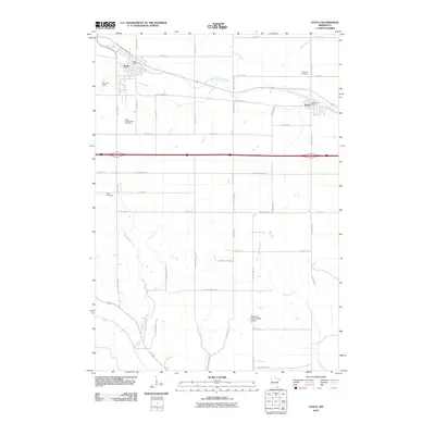
2010 Map of Eyota
USGS Topo · Published 2010About this map
Eyota and Dover anchor this portion of Olmsted County, positioned along the northern edge where the South Fork Whitewater River winds eastward. The landscape is defined by a dense grid of rural roads and agricultural plots, punctuated by small but significant family and community landmarks. Researchers will find several burial grounds including Evergreen Cemetery near Dover and the uniquely named Edith Wright Farm Cemetery further south. The hydrography is surprisingly active for this prairie terrain, with Crow Spring feeding from the north while Mill Creek and Lynch Creek drain the southern sections toward the Olmstead County Road 10 Dam. This era of the region’s development shows a transition from traditional rail-stop towns into more integrated rural-residential communities, evidenced by the clustered footprints of Thomas Field and the central Eyota Post Office.
Find a feature on this map
44 named features on this map. Tap any name to fly to it.
Don’t see what you’re looking for? This feature index may not catch every label — zoom into the map to look around manually.
Map Details
Editions of this 2010 Eyota Map
This is the sole edition of this map. No revisions or reprints were ever made.
Other maps of this area

1934 · Plainview
USGS Topo · 1:62,500

1935 · Rochester
USGS Topo · 1:48,000

1938 · Plainview
USGS Topo · 1:62,500

1939 · Rochester
USGS Topo · 1:62,500

1953 · Saint Paul
USGS Topo · 1:250,000

1954 · Chatfield
USGS Topo · 1:62,500

1954 · Mason City
USGS Topo · 1:250,000

1955 · Stewartville
USGS Topo · 1:62,500

1957 · Mason City
USGS Topo · 1:250,000

1958 · Mason City
USGS Topo · 1:250,000