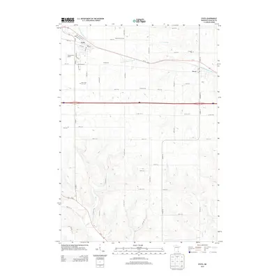
2013 Map of Eyota
USGS Topo · Published 2013About this map
Eyota and Dover anchor this agricultural landscape in Olmsted County, where the S Fork Whitewater River and its tributaries carve subtle valleys through the surrounding fields. The map reveals a densely organized rural grid, defined by major thoroughfares like Us-14 and 90, which connect these small rail-era settlements. Local genealogy and land use are well-documented through named agricultural holdings such as Wendt Farms of Eyota, Franke Farms, and Clemens Farms, alongside several family-named burial grounds including the Edith Wright Farm Cem and Cline Cem.
Find a feature on this map
54 named features on this map. Tap any name to fly to it.
Don’t see what you’re looking for? This feature index may not catch every label — zoom into the map to look around manually.
Map Details
Editions of this 2013 Eyota Map
This is the sole edition of this map. No revisions or reprints were ever made.
Other maps of this area

1934 · Plainview
USGS Topo · 1:62,500

1935 · Rochester
USGS Topo · 1:48,000

1938 · Plainview
USGS Topo · 1:62,500

1939 · Rochester
USGS Topo · 1:62,500

1953 · Saint Paul
USGS Topo · 1:250,000

1954 · Chatfield
USGS Topo · 1:62,500

1954 · Mason City
USGS Topo · 1:250,000

1955 · Stewartville
USGS Topo · 1:62,500

1957 · Mason City
USGS Topo · 1:250,000

1958 · Mason City
USGS Topo · 1:250,000