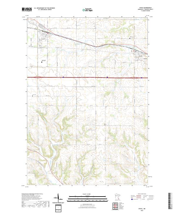
2022 Map of Eyota
USGS Topo · Published 2022About this map
The agrarian landscapes of Olmsted County are anchored by the neighboring settlements of Eyota and Dover in this recent survey. This area is defined by the drainage of the S Fork Whitewater River and several tributaries including Mill Creek and Lynch Creek. A series of local burial grounds, including Evergreen Cem, Cline Cem, and the uniquely named Edith Wright Farm Cem, provide significant markers for genealogical research and local heritage. The layout of the region is structured by a grid of rural routes such as Co RD 142 Se and Spring RD SE, alongside the modern infrastructure of the Eyota Airport. The map highlights the transition from traditional farmsteads to contemporary logistics and transportation corridors.
Find a feature on this map
42 named features on this map. Tap any name to fly to it.
Don’t see what you’re looking for? This feature index may not catch every label — zoom into the map to look around manually.
Map Details
Editions of this 2022 Eyota Map
This is the sole edition of this map. No revisions or reprints were ever made.
Other maps of this area

1934 · Plainview
USGS Topo · 1:62,500

1935 · Rochester
USGS Topo · 1:48,000

1938 · Plainview
USGS Topo · 1:62,500

1939 · Rochester
USGS Topo · 1:62,500

1953 · Saint Paul
USGS Topo · 1:250,000

1954 · Chatfield
USGS Topo · 1:62,500

1954 · Mason City
USGS Topo · 1:250,000

1955 · Stewartville
USGS Topo · 1:62,500

1957 · Mason City
USGS Topo · 1:250,000

1958 · Mason City
USGS Topo · 1:250,000