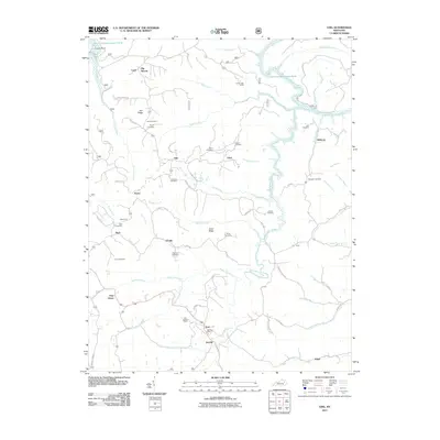
2011 Map of Ezel
USGS Topo · Published 2011About this map
Ezel and its neighboring communities in the eastern Kentucky hills center around the rugged drainage of the Licking River and Blackwater Creek. The landscape is a network of named ridges and hollows, such as Goad Ridge and Big Woods, where small settlements like Artville, Korea, and Kellacey are connected by winding roads and old river crossings like Botts Ford. Genealogists will find a significant concentration of family burial grounds scattered across the terrain, including the Cecil Cemetery, Mann Cemetery, and Johnson Cemetery. The presence of the Ezel Lookout Tower and Ezel Post Office marks the village as a local hub, while features like Broke Leg Falls and the Giant Canada Goose Pond define the area's distinct natural geography within the Daniel Boone National Forest region.
Find a feature on this map
84 named features on this map. Tap any name to fly to it.
Don’t see what you’re looking for? This feature index may not catch every label — zoom into the map to look around manually.
Map Details
Editions of this 2011 Ezel Map
This is the sole edition of this map. No revisions or reprints were ever made.
Other maps of this area

1889 · Salyersville
USGS Topo · 1:125,000

1891 · Salyersville
USGS Topo · 1:125,000

1892 · Beattyville
USGS Topo · 1:125,000

1899 · Salyersville
USGS Topo · 1:125,000

1929 · Morehead
USGS Topo · 1:48,000

1929 · Salt Lick
USGS Topo · 1:62,500

1934 · Salt Lick
USGS Topo · 1:62,500

1935 · Morehead
USGS Topo · 1:62,500

1951 · Cannel City
USGS Topo · 1:24,000

1951 · Ezel
USGS Topo · 1:24,000