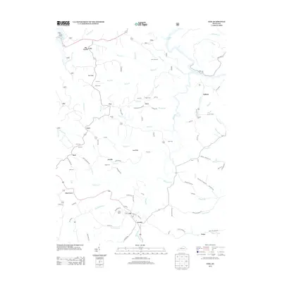
2013 Map of Ezel
USGS Topo · Published 2013About this map
Ezel and Jericho anchor the southern portion of this Kentucky landscape, where the terrain transitions from the protected timber of the Big Woods toward the intricate drainage networks of the Blackwater Cr. The settlement patterns here follow the winding hollows and ridges, with small communities like Korea, Artville, and Kellacey connected by historical routes such as Old State Rd and Kellacey Rd. Local history is deeply etched into the topography through a high density of family burial grounds, including Cecil Cem, Bryant Cem, and Whitaker Cem, which mark the ancestral homes of early residents.
Find a feature on this map
109 named features on this map. Tap any name to fly to it.
Don’t see what you’re looking for? This feature index may not catch every label — zoom into the map to look around manually.
Map Details
Editions of this 2013 Ezel Map
This is the sole edition of this map. No revisions or reprints were ever made.
Other maps of this area

1889 · Salyersville
USGS Topo · 1:125,000

1891 · Salyersville
USGS Topo · 1:125,000

1892 · Beattyville
USGS Topo · 1:125,000

1899 · Salyersville
USGS Topo · 1:125,000

1929 · Morehead
USGS Topo · 1:48,000

1929 · Salt Lick
USGS Topo · 1:62,500

1934 · Salt Lick
USGS Topo · 1:62,500

1935 · Morehead
USGS Topo · 1:62,500

1951 · Cannel City
USGS Topo · 1:24,000

1951 · Ezel
USGS Topo · 1:24,000