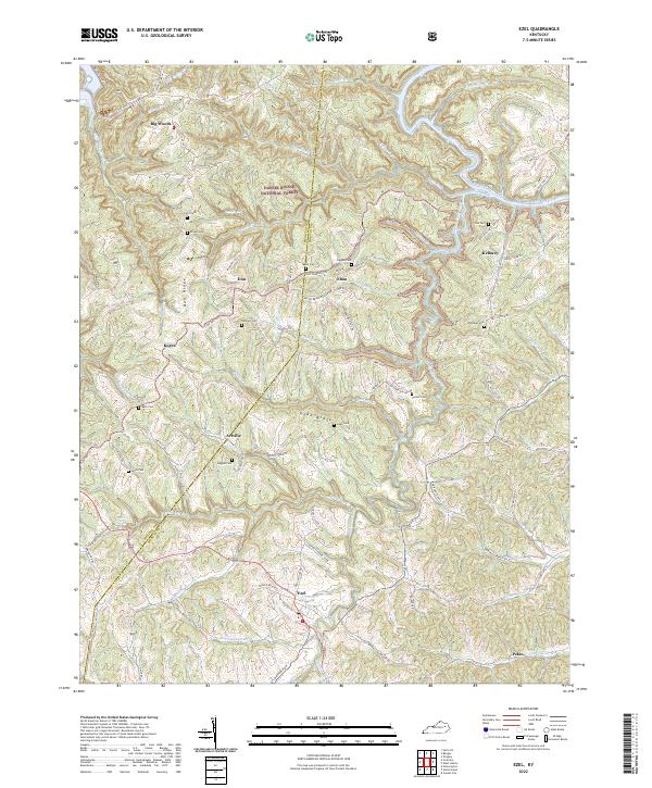
2022 Map of Ezel
USGS Topo · Published 2022About this map
Daniel Boone National Forest encompasses much of this Kentucky landscape, where the Licking River and Blackwater Creek carve through the terrain. The settlement of Ezel serves as a local hub near the southern boundary, while smaller hamlets like Korea, Dan, and Artville are connected by a network of winding roads such as State Hwy 1693. The area is notably dense with small family burial grounds, including the Cecil Cem, Bryant Cem, and Higgins Cem, which offer significant value for genealogical research.
Find a feature on this map
106 named features on this map. Tap any name to fly to it.
Don’t see what you’re looking for? This feature index may not catch every label — zoom into the map to look around manually.
Map Details
Editions of this 2022 Ezel Map
This is the sole edition of this map. No revisions or reprints were ever made.
Other maps of this area

1889 · Salyersville
USGS Topo · 1:125,000

1891 · Salyersville
USGS Topo · 1:125,000

1892 · Beattyville
USGS Topo · 1:125,000

1899 · Salyersville
USGS Topo · 1:125,000

1929 · Morehead
USGS Topo · 1:48,000

1929 · Salt Lick
USGS Topo · 1:62,500

1934 · Salt Lick
USGS Topo · 1:62,500

1935 · Morehead
USGS Topo · 1:62,500

1951 · Cannel City
USGS Topo · 1:24,000

1951 · Ezel
USGS Topo · 1:24,000