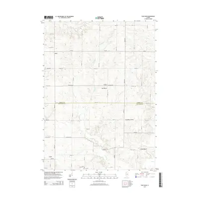
2015 Map of Fair Haven
USGS Topo · Published 2015About this map
Fair Haven sits at the intersection of Fairhaven Road and Demmon Rd, serving as a central point in this rural landscape spanning the border between Carroll Co and Whiteside Co. The terrain is defined by the winding course of Little Rock Cr, which meanders southward toward White Pigeon and Rock Cr. This area maintains a strong connection to its 19th-century roots through its well-preserved rural cemeteries, including Fairhaven Cemetary and the southern clusters at Clyde Methodist Cem and Center Clyde Cem near Ustick. The survey reveals a grid of namesake roads such as Adolph Rd, Crosby Rd, and Morrison Rd that link small agricultural settlements like Ideal and Franklin Corners. This 2015 update provides a modern look at a region where land use remains closely tied to the natural drainage patterns of Otter Cr and Sand Cr.
Find a feature on this map
47 named features on this map. Tap any name to fly to it.
Don’t see what you’re looking for? This feature index may not catch every label — zoom into the map to look around manually.
Map Details
Editions of this 2015 Fair Haven Map
This is the sole edition of this map. No revisions or reprints were ever made.
Other maps of this area

1891 · Clinton
USGS Topo · 1:62,500

1892 · Savanna
USGS Topo · 1:62,500

1894 · Clinton
USGS Topo · 1:62,500

1899 · Clinton
USGS Topo · 1:125,000

1934 · Morrison
USGS Topo · 1:48,000

1940 · Morrison
USGS Topo · 1:62,500

1942 · Mt Carroll
USGS Topo · 1:62,500

1944 · Mt Carroll
USGS Topo · 1:62,500

1952 · Clinton
USGS Topo · 1:62,500

1952 · Savanna
USGS Topo · 1:62,500