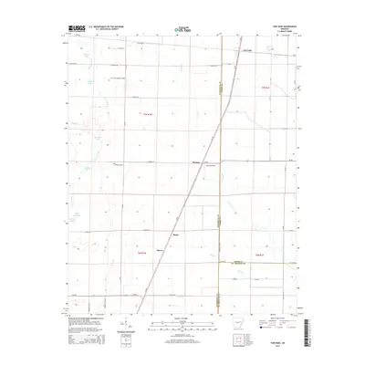
2014 Map of Fair Oaks
USGS Topo · Published 2014About this map
Fair Oaks and Penrose anchor this 2014 survey of the Arkansas Delta, where the landscape is defined by the winding course of Bayou De View. The map illustrates a region structured by agricultural commerce and small-town junctions, centered around the Us-49 corridor. The western edge is dominated by a complex network of wetlands and oxbow lakes, including Sullivan Lake, Chambers Lake, and Brushy Lake, which trace the prehistoric movements of the bayou.
Find a feature on this map
50 named features on this map. Tap any name to fly to it.
Don’t see what you’re looking for? This feature index may not catch every label — zoom into the map to look around manually.
Map Details
Editions of this 2014 Fair Oaks Map
This is the sole edition of this map. No revisions or reprints were ever made.
Other maps of this area

1939 · Vanndale
USGS Topo · 1:62,500

1939 · Wynne
USGS Topo · 1:62,500

1939 · Hunter
USGS Topo · 1:62,500

1940 · Tilton
USGS Topo · 1:62,500

1953 · Memphis
USGS Topo · 1:250,000

1956 · Memphis
USGS Topo · 1:250,000

1956 · Tilton
USGS Topo · 1:62,500

1956 · Hunter
USGS Topo · 1:62,500

1958 · Hunter
USGS Topo · 1:62,500

1958 · Wynne
USGS Topo · 1:62,500