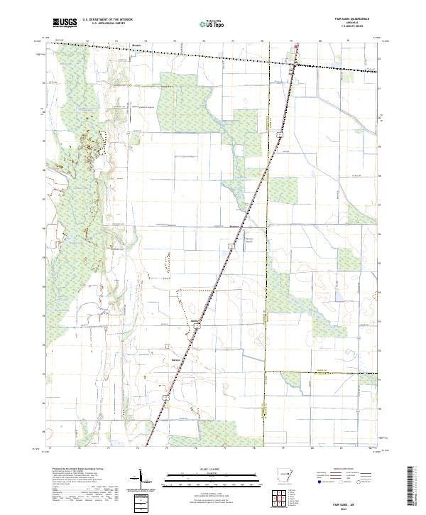
2024 Map of Fair Oaks
USGS Topo · Published 2024About this map
The Cache River National Wildlife Refuge dominates the western portion of this landscape, where the meandering course of Bayou De View feeds a network of wetlands and oxbow lakes including Sullivan Lake, Chambers Lake, and Cheatam Lake. This area of eastern Arkansas is defined by its transition from these dense river bottoms to the organized agricultural grid to the east. Small settlements like Fair Oaks, Penrose, and Morton are scattered along the rail and highway corridors, serving as local hubs for the surrounding farmland.
Find a feature on this map
51 named features on this map. Tap any name to fly to it.
Don’t see what you’re looking for? This feature index may not catch every label — zoom into the map to look around manually.
Map Details
Editions of this 2024 Fair Oaks Map
This is the sole edition of this map. No revisions or reprints were ever made.
Other maps of this area

1939 · Vanndale
USGS Topo · 1:62,500

1939 · Wynne
USGS Topo · 1:62,500

1939 · Hunter
USGS Topo · 1:62,500

1940 · Tilton
USGS Topo · 1:62,500

1953 · Memphis
USGS Topo · 1:250,000

1956 · Memphis
USGS Topo · 1:250,000

1956 · Tilton
USGS Topo · 1:62,500

1956 · Hunter
USGS Topo · 1:62,500

1958 · Hunter
USGS Topo · 1:62,500

1958 · Wynne
USGS Topo · 1:62,500