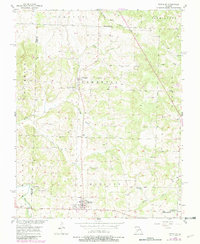
1956 Map of Fair Play
USGS Topo · Published 1982About this map
Fair Play and Dunnegan anchor this mid-century survey of the Ozark transition in Polk and Cedar Counties. The landscape is defined by its water sources, including the prominent Dunnegan Spring and Cave Spring, which likely dictated early settlement patterns. These springs feed into a complex network of waterways such as South Fork Brush Creek and Jump Off Creek. A close look at the rural infrastructure reveals a community centered around several country houses of worship, specifically Plum Grove Ch, Bismount Ch, and Barren Creek Ch.
Find a feature on this map
28 named features on this map. Tap any name to fly to it.
Don’t see what you’re looking for? This feature index may not catch every label — zoom into the map to look around manually.
Map Details
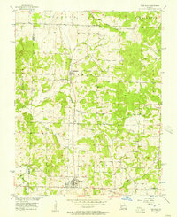
Editions of this 1956 Fair Play Map
2 editions found
Other maps of this area

1884 · Bolivar
USGS Topo · 1:125,000

1886 · Stockton
USGS Topo · 1:125,000

1892 · Bolivar
USGS Topo · 1:125,000

1939 · Arnica
USGS Topo · 1:24,000

1941 · Arnica
USGS Topo · 1:24,000

1942 · Elkton
USGS Topo · 1:24,000

1944 · Humansville
USGS Topo · 1:24,000

1949 · Elkton
USGS Topo · 1:24,000

1950 · Elkton
USGS Topo · 1:24,000

1950 · Cliquot
USGS Topo · 1:24,000