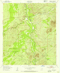
1952 Map of Fairbank
USGS Topo · Published 1955About this map
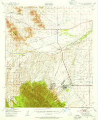
The San Pedro River serves as the central artery for this mid-century survey of the Arizona high desert, where water and transportation shaped the settlement patterns. Near the junction of the Babocomari River, the rail station at Fairbank marks a critical point along the Southern Pacific railroad line. To the south, the settlement of Charleston sits nestled along the riverbanks, shadowed by the Charleston Lead Mine and the eastern fringes of the Fort Huachuca Military Reservation. This topography illustrates a landscape transitioning from ranching operations like the Boquillas Ranch and Lindsey Ranch toward military and mining use. Features like The Three Brothers Hills and the ominous Graveyard Gulch define the arid terrain, providing a look at Cochise County before late-twentieth-century developments altered the character of these historic river outposts.
Find a feature on this map
13 named features on this map. Tap any name to fly to it.
Don’t see what you’re looking for? This feature index may not catch every label — zoom into the map to look around manually.
Map Details
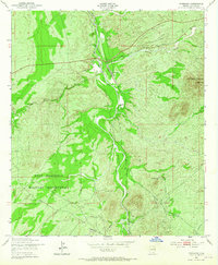
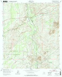
Editions of this 1952 Fairbank Map
3 editions found
Other maps of this area

1915 · Benson
USGS Topo · 1:125,000

1922 · St. David
USGS Topo · 1:62,500

1926 · Whetstone
USGS Topo · 1:62,500

1932 · Fairbank
USGS Topo · 1:62,500

1938 · Huachuca
USGS Topo · 1:62,500

1943 · Benson
USGS Topo · 1:125,000

1948 · Fort Huachuca NE
USGS Topo · 1:24,000
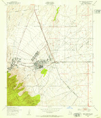
1948 · Fort Huachuca
USGS Topo · 1:24,000
1948 · Fort Huachuca
USGS Topo · 1:62,500

1952 · Tombstone SE
USGS Topo · 1:24,000