
1950 Map of Fairbanks B-2
USGS Topo · Published 1964About this map
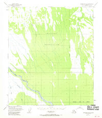
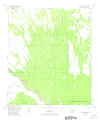
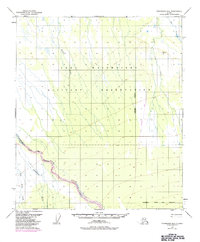
The Wood River winds through the southern reaches of this Interior Alaska landscape, establishing a natural corridor through a region dominated by mid-century military activity. Surveyed in 1949, the terrain is largely defined by the expansive Bombing and Gunnery Range, which occupies the central portion of the sheet. This designation highlights the strategic importance of the Tanana Valley during the early Cold War era. The area is divided by the Fairbanks Meridian, with several significant waterways like Willow Creek and Clear Creek draining north toward the Tanana. To the south, the Military Reservation Boundary (Approximate) marks the edge of federal control near Gold King Creek and Bonnifield Creek. The map reflects a period before extensive permanent settlement in this specific quadrangle, showing a wilderness landscape organized primarily for defense and resource surveying.
Find a feature on this map
9 named features on this map. Tap any name to fly to it.
Don’t see what you’re looking for? This feature index may not catch every label — zoom into the map to look around manually.
Map Details
Editions of this 1950 Fairbanks B-2 Map
4 editions found
Other maps of this area

1949 · Fairbanks C-1
USGS Topo · 1:63,360

1949 · Fairbanks C-2
USGS Topo · 1:63,360

1949 · Fairbanks B-3
USGS Topo · 1:63,360

1949 · Fairbanks A-2
USGS Topo · 1:63,360

1949 · Fairbanks A-1
USGS Topo · 1:63,360

1950 · Fairbanks
USGS Topo · 1:250,000

1950 · Fairbanks C-3
USGS Topo · 1:63,360

1950 · Fairbanks A-3
USGS Topo · 1:63,360

1950 · Fairbanks C-1
USGS Topo · 1:63,360

1950 · Fairbanks B-1
USGS Topo · 1:63,360